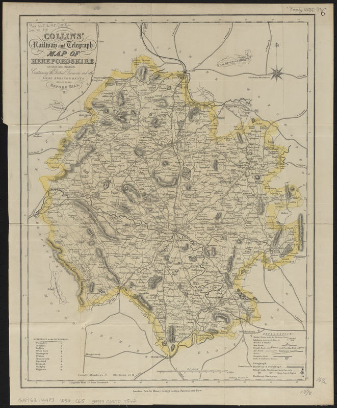
Collins' railway and telegraph map of Herefordshire, divided into hundreds, containing the district divisions and other local arrangements effected by the Reform Bill
Item Information
- Title:
- Collins' railway and telegraph map of Herefordshire, divided into hundreds, containing the district divisions and other local arrangements effected by the Reform Bill
- Title (alt.):
-
Collins' railway & telegraph map of Herefordshire
- Cartographer:
- Collins, Henry George
- Date:
-
[1854?]
- Format:
-
Maps/Atlases
- Location:
-
Boston Public Library
Norman B. Leventhal Map & Education Center - Collection (local):
-
Norman B. Leventhal Map & Education Center Collection
- Subjects:
-
Railroads--England--Herefordshire--Maps
Telegraph--England--Herefordshire--Maps
Herefordshire (England)--Administrative and political divisions--Maps
- Places:
-
EnglandHerefordshire (county)
- Extent:
- 1 map : hand colored ; 42 x 33 cm, folded in cover 16 x 10 cm
- Terms of Use:
-
No known copyright restrictions.
No known restrictions on use.
- Publisher:
-
London :
Pub. by Henry George Collins
- Scale:
-
Scale approximately 1:192,000
- Language:
-
English
- Notes:
-
Relief shown by hachures.
Includes reference to the hundreds.
- Identifier:
-
06_01_014891
- Call #:
-
G5753.H4P3 1854 .C65
- Barcode:
-
39999065707562


