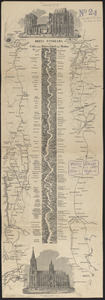
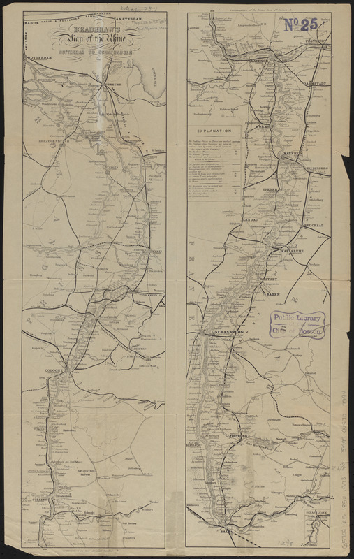
Bradshaw's map of the Rhine from Rotterdam to Schafhausen
Item Information
- Title:
- Bradshaw's map of the Rhine from Rotterdam to Schafhausen
- Publisher:
- Bradshaw, George, 1801-1853
- Date:
-
[1850?–1859?]
- Format:
-
Maps/Atlases
- Location:
-
Boston Public Library
Norman B. Leventhal Map & Education Center - Collection (local):
-
Norman B. Leventhal Map & Education Center Collection
- Subjects:
-
Rhine River--Maps
- Places:
-
Rhine (river)
- Extent:
- 2 sections on 1 sheet ; sections 55 x 15 cm, on sheet 57 x 36 cm
- Terms of Use:
-
No known copyright restrictions.
No known restrictions on use.
- Publisher:
-
[London?] :
[George Bradshaw]
- Scale:
-
Scale approximately 1:600,000
- Language:
-
English
- Notes:
-
From an issue of Bradshaw's continental railway guide.
Relief shown by hachures.
Section 1 oriented with north to the upper left.
Inset: Schafhausen.
- Identifier:
-
06_01_014876
- Call #:
-
G5702.R5 1850 .B73
- Barcode:
-
39999065707794