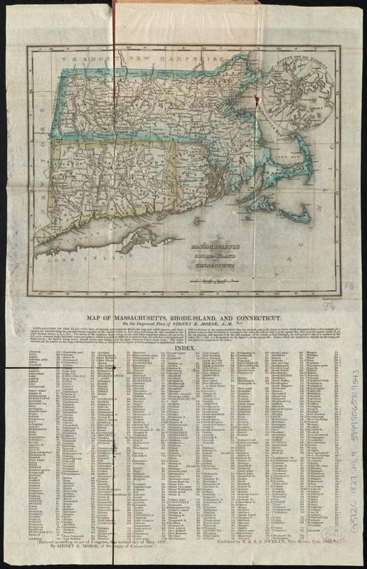
Massachusetts, Rhode-Island and Connecticut
Item Information
- Title:
- Massachusetts, Rhode-Island and Connecticut
- Below map :
- Map of Massachusetts, Rhode-Island, and Connecticut : on the improved plan of Sidney E. Morse
- Creator:
- Morse, Sidney E. (Sidney Edwards), 1794-1871
- Name on Item:
-
N. &. S.S. Jocelyn sc.
- Date:
-
1827
- Format:
-
Maps/Atlases
- Location:
-
Boston Public Library
Norman B. Leventhal Map & Education Center - Collection (local):
-
Norman B. Leventhal Map & Education Center Collection
- Subjects:
-
New England--Maps
Massachusetts--Maps
Rhode Island--Maps
Connecticut--Maps
- Places:
-
Massachusetts
New England (area)
Rhode Island
Connecticut
- Extent:
- 1 map : hand col. ; 19 x 24 cm., on sheet 44 x 28 cm.
- Terms of Use:
-
No known copyright restrictions.
No known restrictions on use.
- Publisher:
-
New-Haven, Conn :
N. & S.S. Jocelyn
- Scale:
-
Scale [ca. 1:1,470,000]
- Language:
-
English
- Notes:
-
Relief shown by hachures.
Includes explanation and index below map.
Inset: Boston and its vicinity.
- Identifier:
-
06_01_009778
- Call #:
-
G3720 1827 .M67
- Barcode:
-
39999065709543


