Atlantic Ocean, Bay of Biscay, ports on the north coast of Spain : from Spanish government surveys, corrected to 1876
Item Information
- Title:
- Atlantic Ocean, Bay of Biscay, ports on the north coast of Spain : from Spanish government surveys, corrected to 1876
- Issuing body:
- United States. Hydrographic Office
- Date:
-
[1883]
- Format:
-
Maps/Atlases
- Genre:
-
Nautical charts
- Location:
-
Boston Public Library
Norman B. Leventhal Map & Education Center - Collection (local):
-
Norman B. Leventhal Map & Education Center Collection
- Subjects:
-
Biscay, Bay of (France and Spain)--Maps
Santoña (Spain)--Maps
Bermeo (Spain)--Maps
Lequeitio (Spain)--Maps
Harbors--Spain--Santoña--Maps
Harbors--Spain--Bermeo--Maps
Harbors--Spain--Lequeitio--Maps
Nautical charts--Spain--Santoña
Nautical charts--Spain--Bermeo
Nautical charts--Spain--Lequeitio
- Places:
-
SpainCantabria (region)Cantabria (province)Santoña
SpainBasque Provinces (region)Vizcaya (province)Bermeo
SpainBasque Provinces (region)Vizcaya (province)Lequeitio
Biscay, Bay of
- Extent:
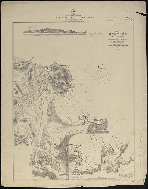
- 3 maps on 1 sheet ; 58 x 45 cm
- Terms of Use:
-
No known copyright restrictions.
No known restrictions on use.
- Publisher:
-
Washington, D.C. :
Hydrographic Office
- Scale:
-
Scale approximately 1:8,000
Scale approximately 1:8,000
Scale approximately 1:25,500
- Language:
-
English
- Table of Contents:
-
Kawahe or Vincennes Island, Paumoto Group
Raraka Island, Paumotu Group
- Notes:
-
Relief shown by hachures and spot heights. Depths shown by soundings.
Includes coastal view.
Manuscript additions and corrections in red ink.
Manuscript in red ink in lower margin: Cor. (III.78.) -- Cor. (6.II.77.)(51.IV.82.)(158.IX.83.).
- Notes (date):
-
This date is inferred.
- Identifier:
-
06_01_017611
- Call #:
-
G9096.P5 svar .U55 no. 795
- Barcode:
-
39999085961744


