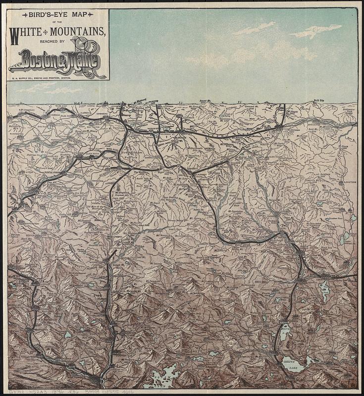
Bird's-eye map of the White Mountains reached by Boston & Maine R.R.
Item Information
- Title:
- Bird's-eye map of the White Mountains reached by Boston & Maine R.R.
- Publisher:
- Rand Avery Supply Co.
- Date:
-
[1896]
- Format:
-
Maps/Atlases
- Genre:
-
Aerial views
- Location:
-
Boston Public Library
Norman B. Leventhal Map & Education Center - Collection (local):
-
Norman B. Leventhal Map & Education Center Collection
- Subjects:
-
White Mountains (N.H. and Me.)--Aerial views
Railroads--White Mountains (N.H. and Me.)--Aerial views
Boston and Maine Railroad
- Places:
-
New HampshireWhite Mountains
- Extent:
- 1 view : color ; 30 x 28 cm
- Terms of Use:
-
No known copyright restrictions.
No known restrictions on use.
- Publisher:
-
Boston :
R.A. Supply Co.
- Scale:
-
Not drawn to scale
- Language:
-
English
- Notes:
-
Relief shown pictorially and by spot heights.
Shows railroads, towns, and peaks.
Date of publication from dealer.
- Notes (date):
-
This date is inferred.
- Identifier:
-
06_01_017157
- Call #:
-
G3742.W52A3 1896 .R36
- Barcode:
-
39999085954616


