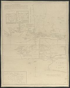
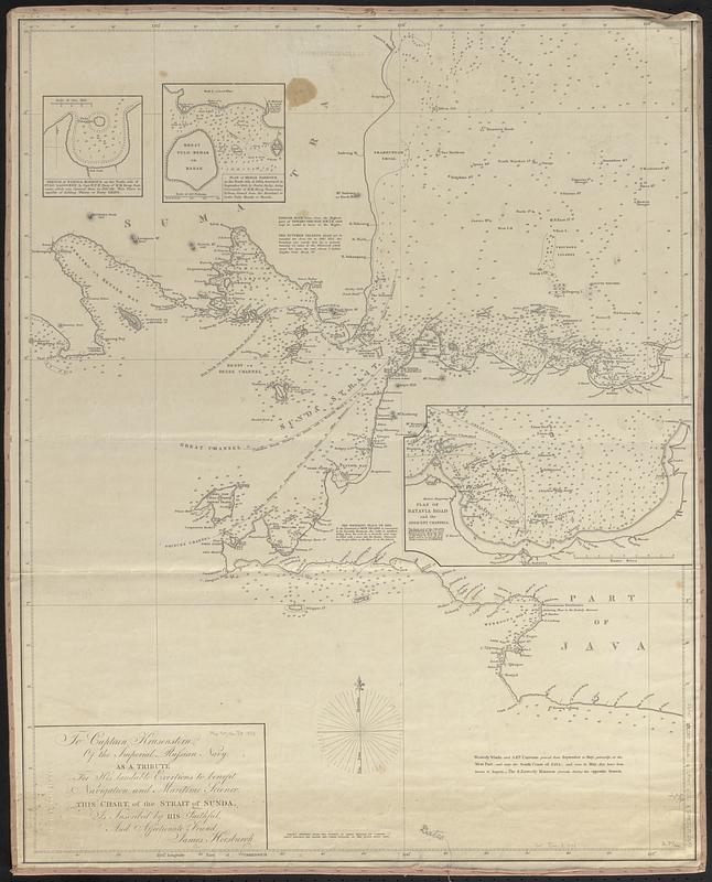
To Captain Krusenstern, of the Imperial Russian Navy, as a tribute for his laudable exertions to benefit navigation and maritime science, this chart, of the Strait of Sunda
Item Information
- Title:
- To Captain Krusenstern, of the Imperial Russian Navy, as a tribute for his laudable exertions to benefit navigation and maritime science, this chart, of the Strait of Sunda
- Cartographer:
- Horsburgh, James
- Name on Item:
-
is inscribed by his faithful, and affectionate friend, James Horsburgh
- Date:
-
[1853]
- Format:
-
Maps/Atlases
- Genre:
-
Nautical charts
- Location:
-
Boston Public Library
Norman B. Leventhal Map & Education Center - Collection (local):
-
Norman B. Leventhal Map & Education Center Collection
- Subjects:
-
Sunda Strait (Indonesia)--Maps
Nautical charts--Indonesia--Sunda Strait
- Places:
-
IndonesiaSunda, Selat (strait)
- Extent:
- 1 map ; 76 x 60 cm
- Terms of Use:
-
No known copyright restrictions.
No known restrictions on use.
- Publisher:
-
[London] :
James Horsburgh
- Scale:
-
Scale approximately 1:490,000
- Language:
-
English
- Notes:
-
"With additions to 1853."
Relief shown by hachures and spot heights. Depths shown by soundings.
Insets: Sketch of Nangga Harbour on the north side of Pulo Lagoondy -- Plan of Merak Harbour, on the north side of Java -- Plan of Batavia Road and the adjacent channels.
Includes notes.
"Greatly improved from the surveys of Baron Melville de Carnbee Lieuts. Rietveld and Broom and other officers of the Dutch Royal Navy."
- Notes (date):
-
This date is inferred.
- Identifier:
-
06_01_017537
- Call #:
-
G8072.S86P5 1853 .H67
- Barcode:
-
39999085960498