Red Sea, Safájah Island anchorages : from a British survey in 1872
Item Information
- Title:
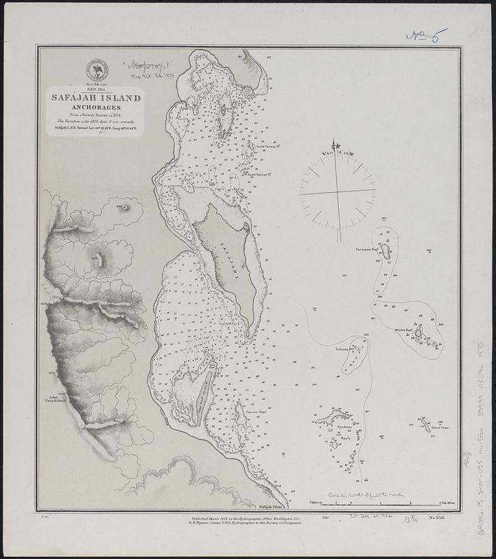
- Red Sea, Safájah Island anchorages : from a British survey in 1872
- Issuing body:
- United States. Hydrographic Office
- Date:
-
1874
- Format:
-
Maps/Atlases
- Genre:
-
Nautical charts
- Location:
-
Boston Public Library
Norman B. Leventhal Map & Education Center - Collection (local):
-
Norman B. Leventhal Map & Education Center Collection
- Subjects:
-
Safaga Island (Egypt)--Maps
Navigation--Egypt--Safaga Island
- Places:
-
EgyptAl Baḥr al AḥmarSafājah, Jazīrat (island)
- Extent:
- 1 map ; 39 x 35 cm
- Terms of Use:
-
No known copyright restrictions.
No known restrictions on use.
- Publisher:
-
Washington, D.C. :
Hydrographic Office
- Scale:
-
Scale approximately 1:74,500
- Language:
-
English
- Notes:
-
Relief shown by hachures and spot heights. Depths shown by soundings, isolines and pictorially.
- Identifier:
-
06_01_017685
- Call #:
-
G9096.P5 svar .U55 no. 556
- Barcode:
-
39999085961975


