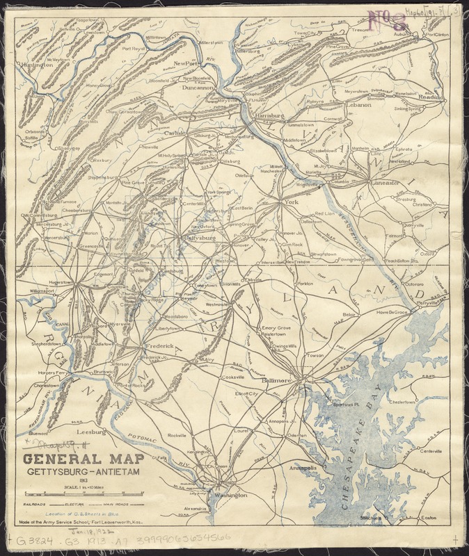
General map, Gettysburg-Antietam
Item Information
- Title:
- General map, Gettysburg-Antietam
- Creator:
- Army Service Schools (U.S.)
- Name on Item:
-
made at the Army Service School.
- Date:
-
1913
- Format:
-
Maps/Atlases
- Location:
-
Boston Public Library
Norman B. Leventhal Map & Education Center - Collection (local):
-
Norman B. Leventhal Map & Education Center Collection
- Subjects:
-
Gettysburg Region (Pa.)--Maps
- Places:
-
PennsylvaniaAdams (county)Gettysburg
- Extent:
- 1 map : col. ; 33 x 28 cm.
- Terms of Use:
-
No known copyright restrictions.
No known restrictions on use.
- Publisher:
-
Fort Leavenworth, Kas :
Army Service School
- Scale:
-
Scale 1:633,600. 1 in. = 10 miles.
- Language:
-
English
- Notes:
-
Relief shown by hachures.
"Location of G.S. sheets in blue."
- Identifier:
-
06_01_008472
- Call #:
-
G3824.G3 1913 .A7
- Barcode:
-
39999065654566


