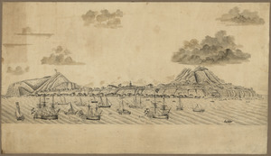
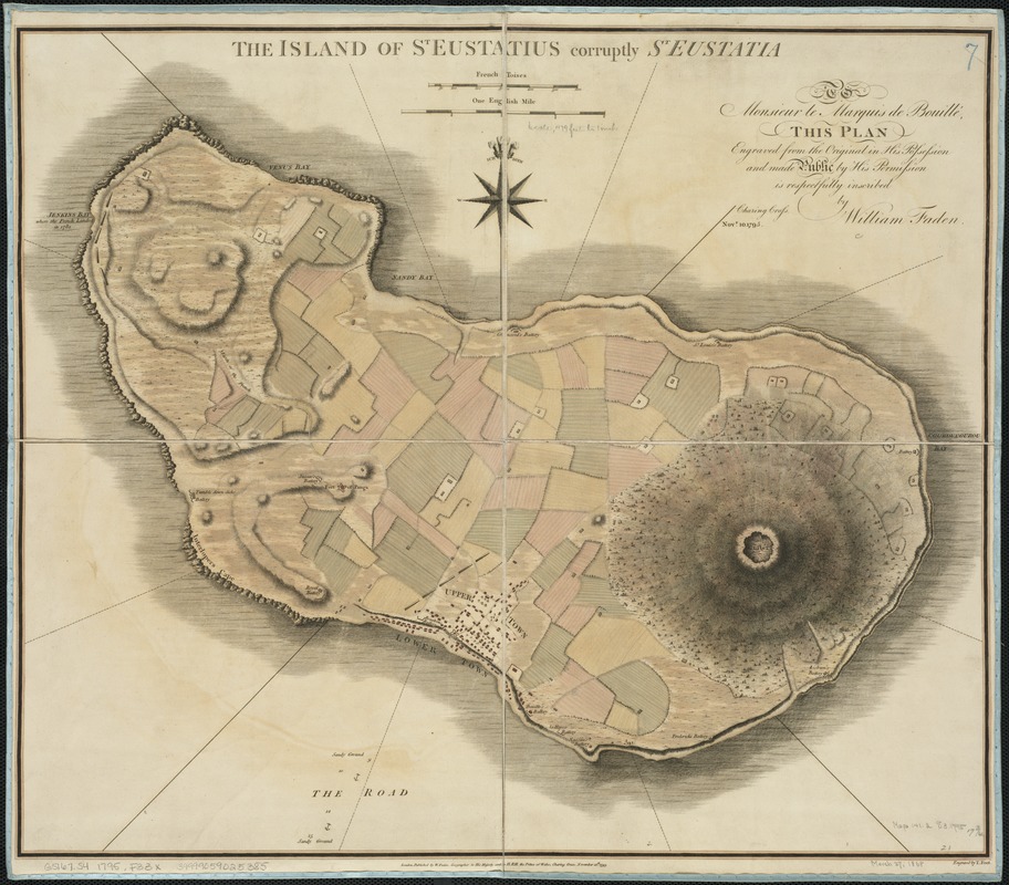
The island of St. Eustatius corruptly St. Eustatia
This map is also available in American Revolutionary Geographies Online (ARGO), a collections portal especially built for material relating to the American Revolutionary War Era. Visit ARGO to learn more about this item and explore the historical geography of North America in the late eighteenth century.
Item Information
- Title:
- The island of St. Eustatius corruptly St. Eustatia
- Creator:
- Faden, William, 1749-1836
- Name on Item:
-
engraved by T. Foot.
- Date:
-
1795
- Format:
-
Maps/Atlases
- Location:
-
Boston Public Library
Norman B. Leventhal Map & Education Center - Collection (local):
-
Norman B. Leventhal Map & Education Center Collection
- Subjects:
-
Sint Eustatius--Maps--Early works to 1800
- Places:
-
Sint Eustatius (island)
- Extent:
- 1 map : col. ; 46 x 54 cm.
- Terms of Use:
-
No known copyright restrictions.
No known restrictions on use.
- Publisher:
-
London :
W. Faden
- Scale:
-
Scale ca. 1:14,150.
- Language:
-
English
- Notes:
-
Relief shown by hachures.
"To Monsieur le Marquis de Bouille, this plan engraved from the original in His Possession and made public by His Possession is respectfully inscribed by William Faden."
- Identifier:
-
06_01_006391
- Call #:
-
G5167.S4 1795 .F33x
- Barcode:
-
39999059025385