Atlas of Dorchester, West Roxbury and Brighton, city of Boston : index map
Item Information
- Title:
- Atlas of Dorchester, West Roxbury and Brighton, city of Boston : index map
- Title (alt.):
-
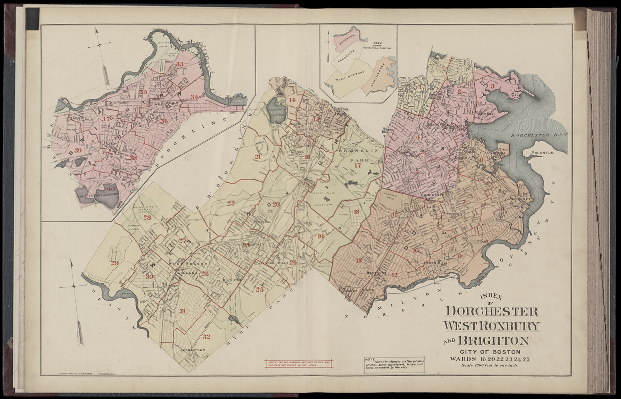
Index of Dorchester, West Roxbury and Brighton, city of Boston, wards 16, 20, 22, 23, 24, 25
- Publisher:
- Richards, L. J.
- Publisher:
- J. P. Brown & Co.
- Date:
-
1899
- Format:
-
Maps/Atlases
- Location:
-
Boston Public Library
Norman B. Leventhal Map & Education Center - Collection (local):
-
Norman B. Leventhal Map & Education Center Collection
- Subjects:
-
Dorchester (Boston, Mass.)--Maps
West Roxbury (Boston, Mass.)--Maps
Brighton (Boston, Mass.)--Maps
Mattapan (Boston, Mass.)--Maps
Jamaica Plain (Boston, Mass.)--Maps
Roslindale (Boston, Mass.)--Maps
Allston (Boston, Mass.)--Maps
- Places:
-
MassachusettsSuffolk (county)BostonDorchester
MassachusettsSuffolk (county)BostonMattapan
MassachusettsSuffolk (county)BostonJamaica Plain
MassachusettsSuffolk (county)BostonRoslindale
MassachusettsSuffolk (county)BostonWest Roxbury
MassachusettsSuffolk (county)BostonAllston
MassachusettsSuffolk (county)BostonBrighton
- Extent:
- 1 map : color ; 56 x 82 cm
- Terms of Use:
-
No known copyright restrictions.
No known restrictions on use.
- Publisher:
-
Boston, Mass. :
L.J. Richards, as, J.P. Brown & Co.
- Scale:
-
Scale 1:19,200
- Language:
-
English
- Notes:
-
Digitization made possible with support from the Council on Library and Information Resources.
- Identifier:
-
G1234_B6_R6_1899_0003
- Call #:
-
G1234.B6 R6 1899
- Barcode:
-
39999059011211


