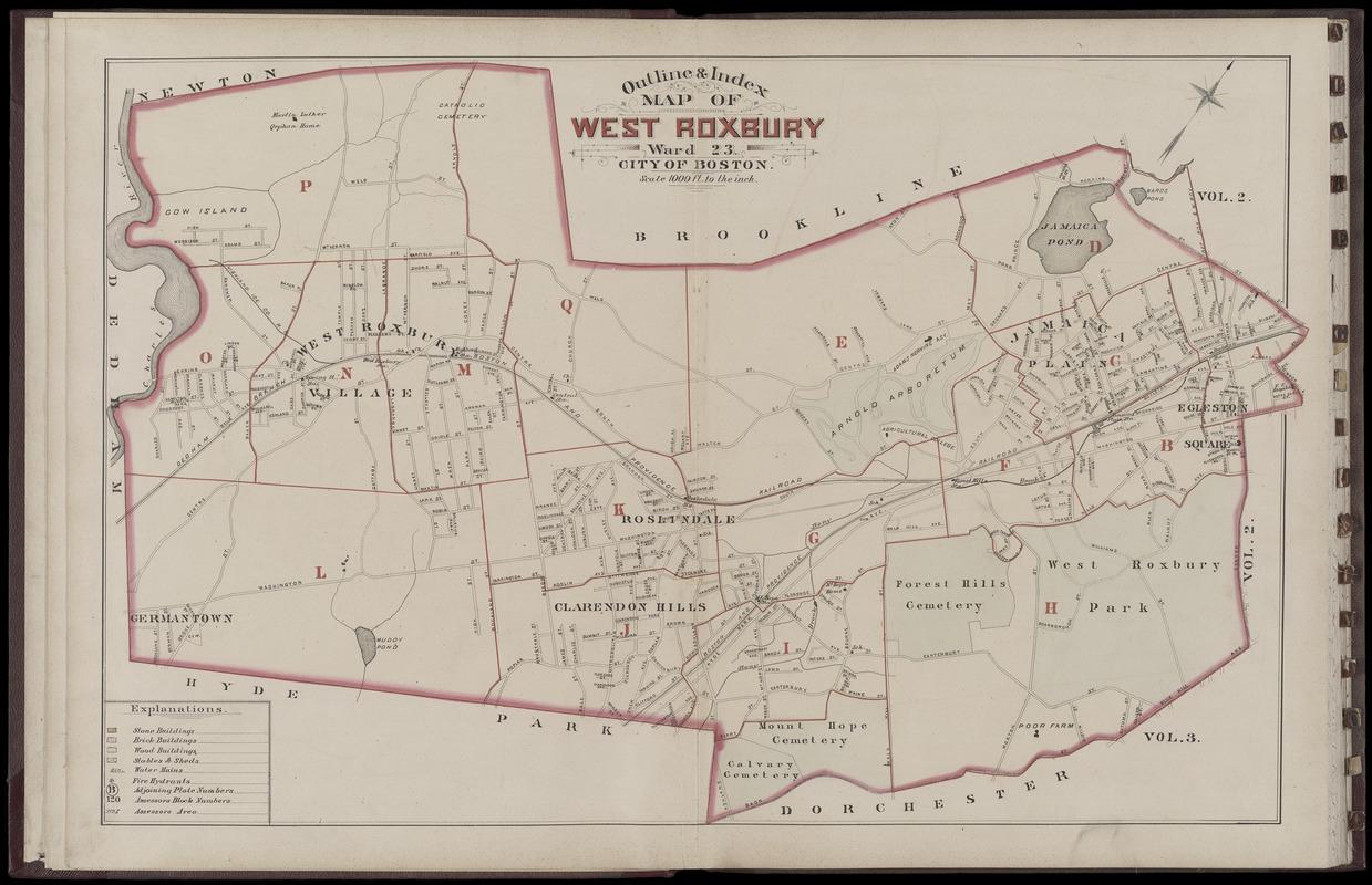
Atlas of the city of Boston : West Roxbury : volume five : from actual surveys and official records : index map
Item Information
- Title:
- Atlas of the city of Boston : West Roxbury : volume five : from actual surveys and official records : index map
- Title (alt.):
-
Outline & index map of West Roxbury, ward 23, city of Boston
- Cartographer:
- G.W. Bromley & Co.
- Engraver:
- Mueller, A. H. (August H.)
- Publisher:
- Bromley, George Washington
- Publisher:
- Bromley, Walter Scott
- Name on Item:
-
by G.W. Bromley & Co., civil engineers
- Date:
-
1884
- Format:
-
Maps/Atlases
- Location:
-
Boston Public Library
Norman B. Leventhal Map & Education Center - Collection (local):
-
Norman B. Leventhal Map & Education Center Collection
- Subjects:
-
Jamaica Plain (Boston, Mass.)--Maps
Roxbury (Boston, Mass.)--Maps
Roslindale (Boston, Mass.)--Maps
West Roxbury (Boston, Mass.)--Maps
- Places:
-
MassachusettsSuffolk (county)BostonJamaica Plain
MassachusettsSuffolk (county)BostonRoslindale
MassachusettsSuffolk (county)BostonWest Roxbury
MassachusettsSuffolk (county)BostonRoxbury
- Extent:
- 1 map : color ; sheet 52 x 77 cm
- Terms of Use:
-
No known copyright restrictions.
No known restrictions on use.
- Publisher:
-
Philada. :
Geo. W. & Walter S. Bromley
- Scale:
-
Scale 1:12,000
- Language:
-
English
- Notes:
-
Digitization made possible with support from the Council on Library and Information Resources.
- Identifier:
-
G1234_B6_B7_1883v5_0002
- Call #:
-
G1234.B6 B7 1883 v.5
- Barcode:
-
39999059010882


