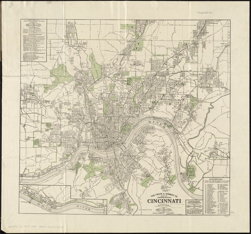
The Fred'k A. Schmidt Co. map of metropolitan Cincinnati
Item Information
- Title:
- The Fred'k A. Schmidt Co. map of metropolitan Cincinnati
- Title (alt.):
-
Map of metropolitan Cincinnati
- Creator:
- A.C. Wagner Co
- Date:
-
[ca. 1915]
- Format:
-
Maps/Atlases
- Location:
-
Boston Public Library
Norman B. Leventhal Map & Education Center - Collection (local):
-
Norman B. Leventhal Map & Education Center Collection
- Subjects:
-
Real property--Ohio--Cincinnati--Maps
Cincinnati Metropolitan Area (Ohio)--Maps
Kentucky, Northern--Maps
- Places:
-
OhioHamilton (county)Cincinnati
Kentucky
- Extent:
- 1 map : col. ; 59 x 63 cm., folded in cover 18 x 10 cm.
- Terms of Use:
-
No known copyright restrictions.
No known restrictions on use.
- Publisher:
-
Cincinnati :
Published by A.C. Wagner for the Fred'k A. Schmidt Co.
- Scale:
-
Scale [ca. 1:31,680]. 2 in. to 1 mile
- Language:
-
English
- Notes:
-
Includes: "Explanations" with key to street car lines, "Partial list of the office and apartment buildings managed by The Fred'k A. Schmidt Co.," and western continuation inset.
- Identifier:
-
06_01_011290
- Call #:
-
G4084.C4 1915 .A39
- Barcode:
-
39999065683565


