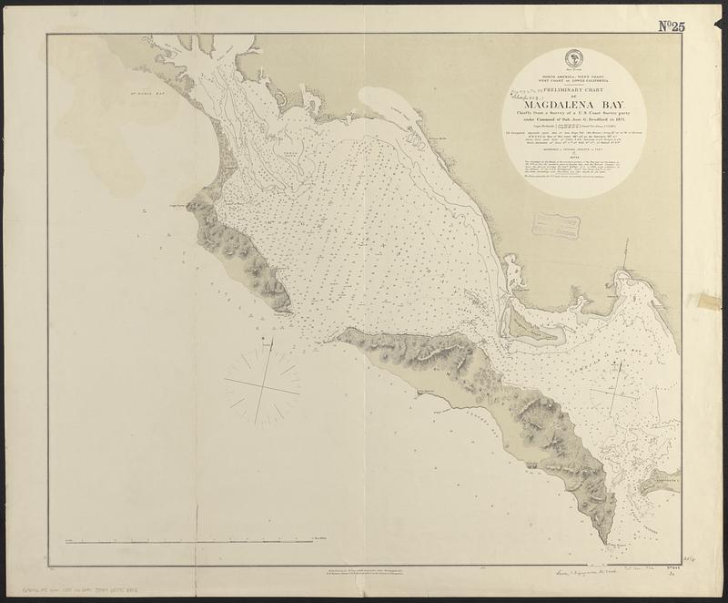
North America, west coast, west coast of lower California, preliminary chart of Magdalena Bay : chiefly from a survey of a U.S. Coast Survey party under command of Sub. Asst. G. Bradford in 1871
Item Information
- Title:
- North America, west coast, west coast of lower California, preliminary chart of Magdalena Bay : chiefly from a survey of a U.S. Coast Survey party under command of Sub. Asst. G. Bradford in 1871
- Issuing body:
- United States. Hydrographic Office
- Date:
-
1875
- Format:
-
Maps/Atlases
- Genre:
-
Nautical charts
- Location:
-
Boston Public Library
Norman B. Leventhal Map & Education Center - Collection (local):
-
Norman B. Leventhal Map & Education Center Collection
- Subjects:
-
Magdalena Bay (Mexico)--Maps
Nautical charts--Mexico--Magdalena Bay
- Places:
-
MexicoBaja California SurMagdalena, Bahía (bay)
- Extent:
- 1 map ; 64 x 76 cm
- Terms of Use:
-
No known copyright restrictions.
No known restrictions on use.
- Publisher:
-
Washington, D.C. :
Hydrographic Office
- Scale:
-
Scale approximately 1:93,200
- Language:
-
English
- Notes:
-
Relief shown by hachures and spot heights. Depths shown by soundings and isolines.
- Identifier:
-
06_01_017433
- Call #:
-
G9096.P5 svar .U55 no. 644
- Barcode:
-
39999085958898


