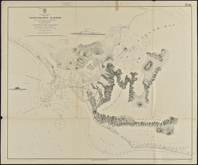
North America, west coast, Gulf of California, Topolobampo Harbor : from a survey by the officers of the U.S. Ship Narragansett, Comdr. Geo. Dewey, comdng., January 1874 and April 1875
Item Information
- Title:
- North America, west coast, Gulf of California, Topolobampo Harbor : from a survey by the officers of the U.S. Ship Narragansett, Comdr. Geo. Dewey, comdng., January 1874 and April 1875
- Issuing body:
- United States. Hydrographic Office
- Date:
-
1876
- Format:
-
Maps/Atlases
- Genre:
-
Nautical charts
- Location:
-
Boston Public Library
Norman B. Leventhal Map & Education Center - Collection (local):
-
Norman B. Leventhal Map & Education Center Collection
- Subjects:
-
Topolobampo Bay (Mexico)--Maps
Nautical charts--Mexico--Topolobampo Bay
Harbors--Mexico--Topolobampo--Maps
- Places:
-
MexicoSonoraTopolobampo, Bahía de (bay)
- Extent:
- 1 map ; 83 x 101 cm
- Terms of Use:
-
No known copyright restrictions.
No known restrictions on use.
- Publisher:
-
Washington, D.C. :
Hydrographic Office
- Scale:
-
Scale approximately 1:39,500
- Language:
-
English
- Notes:
-
Relief shown by hachures and spot heights. Depths shown by soundings.
Includes 2 views: Round hill bearing N. 33°35'E -- San Ignacio Farallon.
- Identifier:
-
06_01_015872
- Call #:
-
G9096.P5 svar .U55 no. 714
- Barcode:
-
39999085941324


