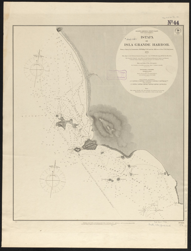
North America, west coast, west coast of Mexico, Istapa or Isla Grande Harbor : from a survey by Commander J.W. Philip, U.S.N. and the officers of the U.S.S. Tuscarora, 1879
Item Information
- Title:
- North America, west coast, west coast of Mexico, Istapa or Isla Grande Harbor : from a survey by Commander J.W. Philip, U.S.N. and the officers of the U.S.S. Tuscarora, 1879
- Title (alt.):
-
Istapa or Isla Grande Harbor
- Issuing body:
- United States. Hydrographic Office
- Date:
-
1881
- Format:
-
Maps/Atlases
- Location:
-
Boston Public Library
Norman B. Leventhal Map & Education Center - Collection (local):
-
Norman B. Leventhal Map & Education Center Collection
- Subjects:
-
Nautical charts--Mexico--Zihuatanejo
Ixtapa (Zihuatanejo, Mexico)--Maps
- Places:
-
MexicoGuerreroZihuatanejo
- Extent:
- 1 map ; 56 x 49 cm
- Terms of Use:
-
No known copyright restrictions.
No known restrictions on use.
- Publisher:
-
Washington, D.C. :
Hydrographic Office
- Scale:
-
Scale approximately 1:19,000
- Language:
-
English
- Notes:
-
Relief shown by hachures and spot heights. Depths shown by soundings and isolines.
"Additions and corrections August 1881."
- Identifier:
-
06_01_015877
- Call #:
-
G9096.P5 svar .U55
- Barcode:
-
39999085941258


