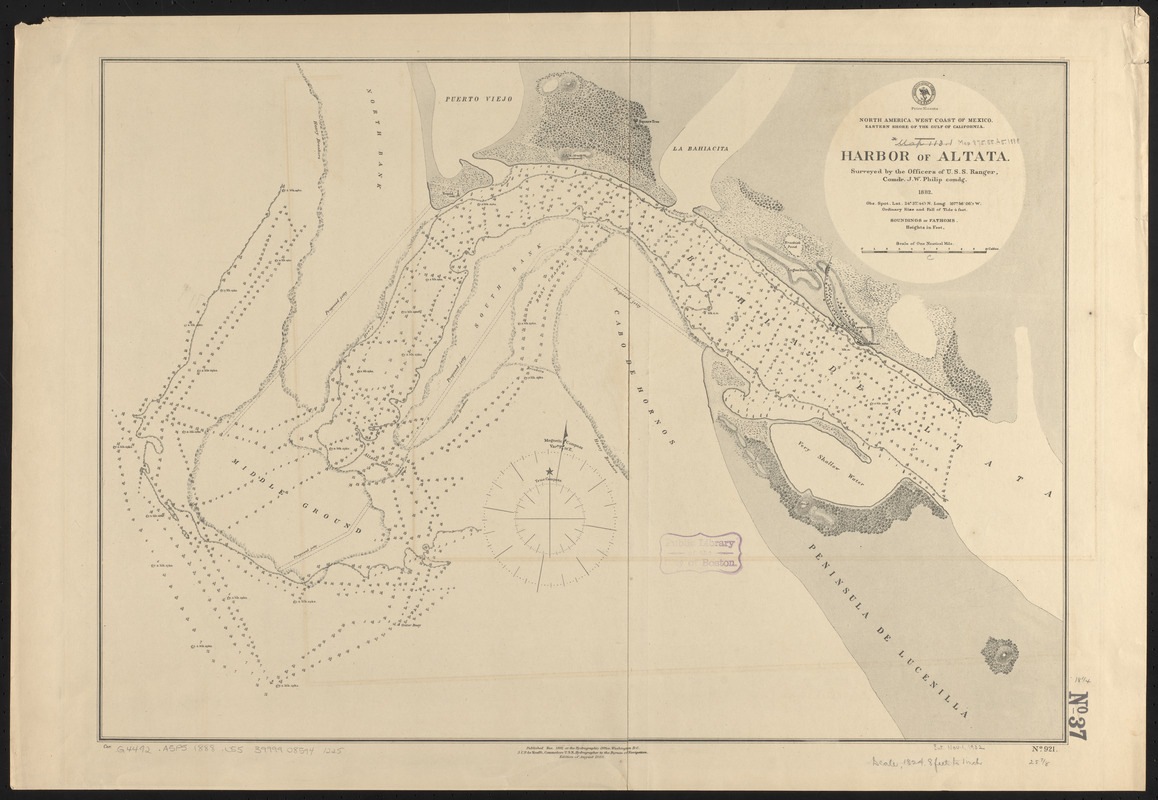
North America, west coast of Mexico, eastern shore of the Gulf of California, harbor of Altata
Item Information
- Title:
- North America, west coast of Mexico, eastern shore of the Gulf of California, harbor of Altata
- Title (alt.):
-
Harbor of Altata
- Issuing body:
- United States. Hydrographic Office
- Name on Item:
-
surveyed by the officers of the U.S.S. Ranger, Comdr. J.W. Philip comdg., 1882
- Date:
-
1888
- Format:
-
Maps/Atlases
- Location:
-
Boston Public Library
Norman B. Leventhal Map & Education Center - Collection (local):
-
Norman B. Leventhal Map & Education Center Collection
- Subjects:
-
Nautical charts--Mexico--Altata Bay
Altata Bay (Mexico)--Maps
- Places:
-
MexicoSinaloaAltata, Bahía (bay)
- Extent:
- 1 map ; 47 x 66 cm
- Terms of Use:
-
No known copyright restrictions.
No known restrictions on use.
- Publisher:
-
Washington, D.C. :
Hydrographic Office
- Edition:
- Edition of August 1888
- Scale:
-
Scale approximately 1:21,600
- Language:
-
English
- Notes:
-
Relief shown by hachures and spot heights. Depths shown by soundings.
- Identifier:
-
06_01_015874
- Call #:
-
G9096.P5 svar .U55
- Barcode:
-
39999085941225


