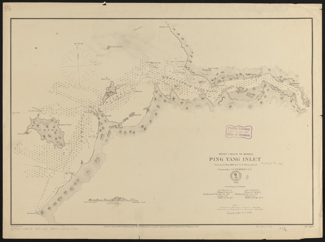
West coast of Korea, Ping Yang Inlet
Item Information
- Title:
- West coast of Korea, Ping Yang Inlet
- Title (alt.):
-
Ping Yang Inlet
- Issuing body:
- United States. Hydrographic Office
- Lithographer:
- Krebs, Charles G.
- Name on Item:
-
surveyed May 1868 by U.S.S. Shenandoah, Commander J.C. Febiger U.S.N.
- Date:
-
1869
- Format:
-
Maps/Atlases
- Location:
-
Boston Public Library
Norman B. Leventhal Map & Education Center - Collection (local):
-
Norman B. Leventhal Map & Education Center Collection
- Subjects:
-
Nautical charts--Korea (North)--Taedong River
Taedong River (Korea)--Maps
- Places:
-
North KoreaTaedong-gang (river)
- Extent:
- 1 map ; 45 x 65 cm
- Terms of Use:
-
No known copyright restrictions.
No known restrictions on use.
- Publisher:
-
Washington, D.C. :
Hydrographic Office
- Scale:
-
Scale approximately 1:125,000
- Language:
-
English
- Notes:
-
Relief shown by hachures. Depths shown by soundings and isolines.
Includes view of Choda Island.
- Identifier:
-
06_01_015916
- Call #:
-
G9096.P5 svar .U55
- Barcode:
-
39999085940847


