West Indies, ports on the north coast of Cuba : from Spanish surveys corrected to 1883
Item Information
- Title:
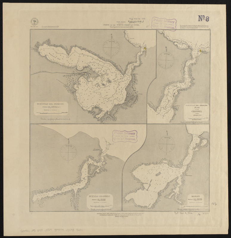
- West Indies, ports on the north coast of Cuba : from Spanish surveys corrected to 1883
- Title (alt.):
-
Nuevitas del Principe
Nuevitas del Principle : plan of the channel on an enlarged scale
Nuevas Grandes
Manati
- Issuing body:
- United States. Hydrographic Office
- Date:
-
1888
- Format:
-
Maps/Atlases
- Location:
-
Boston Public Library
Norman B. Leventhal Map & Education Center - Collection (local):
-
Norman B. Leventhal Map & Education Center Collection
- Subjects:
-
Nautical charts--Cuba--Nuevitas Bay
Nautical charts--Cuba--Nuevas Grandes Bay
Nautical charts--Cuba--Manatí Bay
Nuevitas Bay (Cuba)--Maps
Nuevas Grandes Bay (Cuba)--Maps
Manatí Bay (Cuba)--Maps
- Places:
-
CubaCamagüey (province)Nuevitas, Bahía de (bay)
CubaLas Tunas (province)Manatí, Bahía de (bay)
Bahía de Nuevas Grandes
- Extent:
- 4 maps on 1 sheet : hand colored ; 41 x 41 cm
- Terms of Use:
-
No known copyright restrictions.
No known restrictions on use.
- Publisher:
-
Washington, D.C. :
Hydrographic Office
- Edition:
- Edition of April 1888
- Scale:
-
Scale approximately 1:43,700
Scale approximately 1:50,600
Scale approximately 1:69,000
Scale approximately 1:114,000
- Language:
-
English
- Table of Contents:
-
Nuevitas del Principe
Nuevitas del Principle. Plan of the channel on an enlarged scale
Nuevas Grandes
Manati.
- Notes:
-
Relief shown by hachures. Depths shown by soundings and isolines.
- Identifier:
-
06_01_015667
- Call #:
-
G9096.P5 svar .U55
- Barcode:
-
39999085939401


