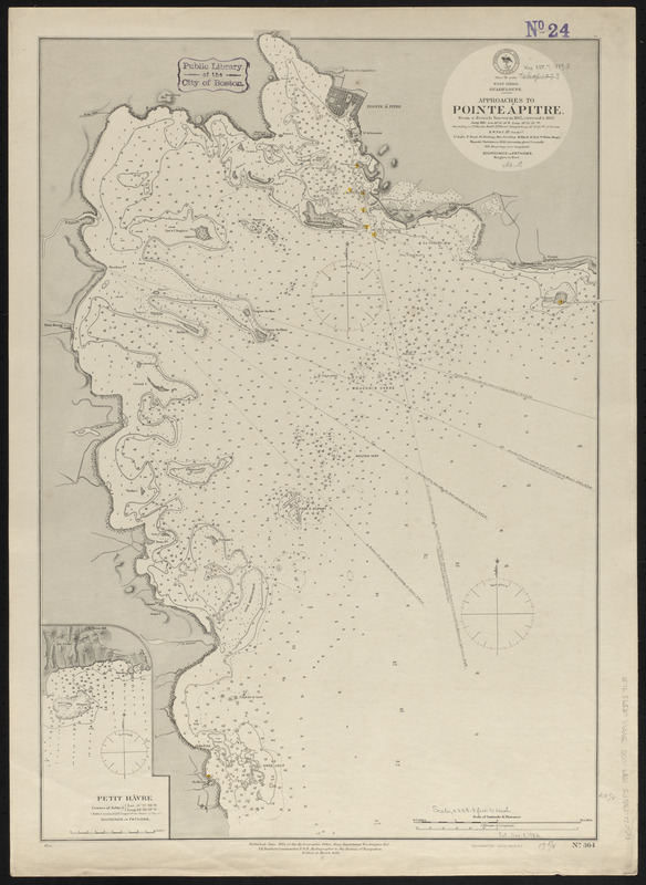
West Indies, Guadeloupe, approaches to Pointe á Pitre : from a French survey in 1867, corrected to 1882
Item Information
- Title:
- West Indies, Guadeloupe, approaches to Pointe á Pitre : from a French survey in 1867, corrected to 1882
- Title (alt.):
-
Approaches to Pointe á Pitre
- Issuing body:
- United States. Hydrographic Office
- Printer:
- Leggo Bros. & Co.
- Date:
-
1889
- Format:
-
Maps/Atlases
- Location:
-
Boston Public Library
Norman B. Leventhal Map & Education Center - Collection (local):
-
Norman B. Leventhal Map & Education Center Collection
- Subjects:
-
Harbors--Guadeloupe--Pointe-à-Pitre--Maps
Nautical charts--Guadeloupe--Petit Cul-de-sac Marin
Pointe-à-Pitre (Guadeloupe)--Maps
Petit Cul-de-sac Marin (Guadeloupe)--Maps
- Places:
-
Guadeloupe (territory)Grande-Terre (island)Pointe-à-Pitre
Guadeloupe (territory)Petit Cul de Sac Marin (bay)
- Extent:
- 1 map : hand colored ; 66 x 45 cm
- Terms of Use:
-
No known copyright restrictions.
No known restrictions on use.
- Publisher:
-
Washington, D.C. :
Hydrographic Office
- Edition:
- Edition of March 1889
- Scale:
-
Scale approximately 1:27,400
- Language:
-
English
- Notes:
-
Relief shown by hachures. Depths shown by soundings and isolines.
Inset: Petit Hâvre.
- Identifier:
-
06_01_015711
- Call #:
-
G9096.P5 svar .U55
- Barcode:
-
39999085939039


