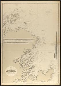
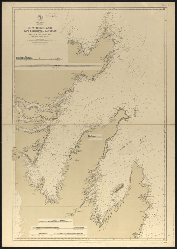
North America, east coast of Newfoundland, Cape Bonavista to Bay Bulls including Trinity, & Conception Bays : from Brit. surveys 1867-1871 ; republication of Brit. Admty. chart no. 296, corrected to 1874
Item Information
- Title:
- North America, east coast of Newfoundland, Cape Bonavista to Bay Bulls including Trinity, & Conception Bays : from Brit. surveys 1867-1871 ; republication of Brit. Admty. chart no. 296, corrected to 1874
- Title (alt.):
-
Newfoundland, Cape Bonavista to Bay Bulls
- Issuing body:
- United States. Hydrographic Office
- Date:
-
1874
- Format:
-
Maps/Atlases
- Location:
-
Boston Public Library
Norman B. Leventhal Map & Education Center - Collection (local):
-
Norman B. Leventhal Map & Education Center Collection
- Subjects:
-
Coasts--Newfoundland and Labrador--Maps
Nautical charts--Newfoundland and Labrador--Bonavista Bay
Nautical charts--Newfoundland and Labrador--Trinity Bay
Nautical charts--Newfoundland and Labrador--Conception Bay
Bonavista Bay (N.L.)--Maps
Trinity Bay (N.L.)--Maps
Conception Bay (N.L.)--Maps
- Places:
-
CanadaNewfoundland and Labrador (province)Bonavista Bay
CanadaNewfoundland and Labrador (province)Trinity Bay
CanadaNewfoundland and Labrador (province)Conception Bay
- Extent:
- 1 map ; 95 x 63 cm
- Terms of Use:
-
No known copyright restrictions.
No known restrictions on use.
- Publisher:
-
Washington, D.C. :
Hydrographic Office
- Scale:
-
Scale approximately 1:182,000
- Language:
-
English
- Notes:
-
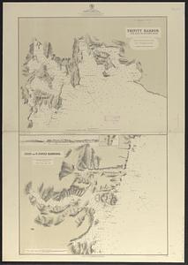
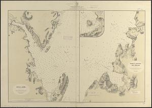
Relief shown by hachures and spot heights. Depths shown by soundings and isolines.
Includes 6 coastal views.
- Identifier:
-
06_01_016377
- Call #:
-
G9096.P5 svar .U55
- Barcode:
-
39999085946406