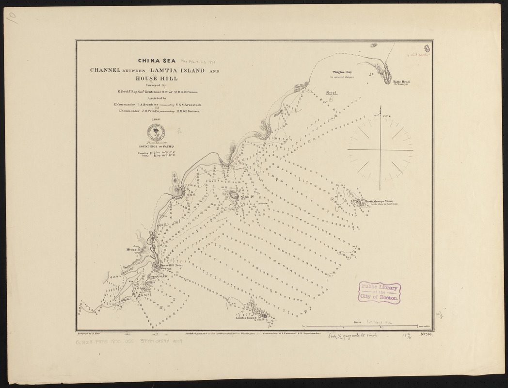
China Sea, channel between Lamtia Island and House Hill
Item Information
- Title:
- China Sea, channel between Lamtia Island and House Hill
- Issuing body:
- United States. Hydrographic Office
- Surveyor:
- Ray, Frederick J.
- Surveyor:
- Beardslee, L. A. (Lester Anthony), 1836-1903
- Surveyor:
- Pringle, John E.
- Draftsman:
- Nell, L.
- Name on Item:
-
surveyed by Lt. Fred. J. Ray, navg. lieutenant R.N. of H.M.S. Rifleman, assisted by lt. Commander K.A. Beardslee, commanding U.S.S. Aroostook and Lt. Commander J.E. Pringle, commanding H.M.G.B. Banterer, 1868 ; autograph by L. Neil
- Date:
-
1870
- Format:
-
Maps/Atlases
- Location:
-
Boston Public Library
Norman B. Leventhal Map & Education Center - Collection (local):
-
Norman B. Leventhal Map & Education Center Collection
- Subjects:
-
Coasts--China--Fujian Sheng--Maps
Nautical charts--China--Fujian Sheng
Fujian Sheng (China)--Maps
Nanding Island (China)--Maps
- Places:
-
ChinaFujian Sheng (province)Nanding Dao (island)
- Extent:
- 1 map ; 39 x 48 cm
- Terms of Use:
-
No known copyright restrictions.
No known restrictions on use.
- Publisher:
-
Washington, D.C. :
Hydrographic Office
- Scale:
-
Scale approximately 1:36,300
- Language:
-
English
- Notes:
-
Relief shown by hachures. Depths shown by soundings and isolines.
- Identifier:
-
06_01_015920
- Call #:
-
G9096.P5 svar .U55
- Barcode:
-
39999085942009


