South America--south west coast--inner channels, Indian Reach : from British surveys corrected to 1881
Item Information
- Title:
- South America--south west coast--inner channels, Indian Reach : from British surveys corrected to 1881
- Title (alt.):
-
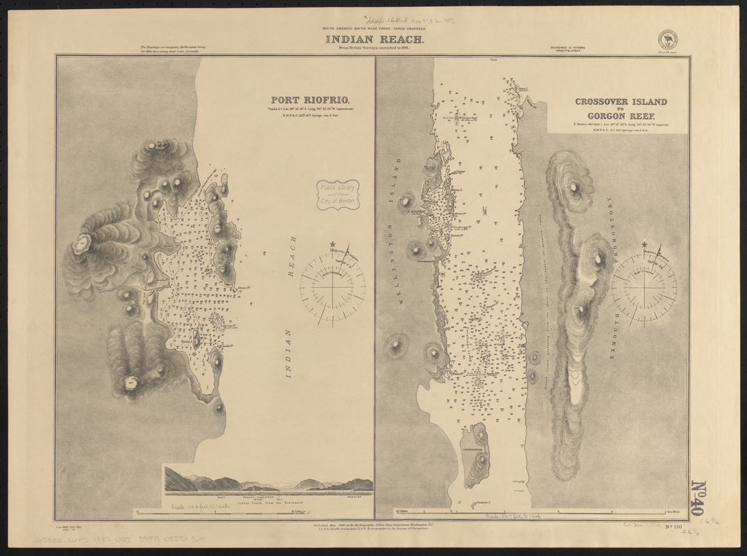
Port Riofrio
Crossover Island to Gorgon Reef
- Issuing body:
- United States. Hydrographic Office
- Date:
-
1887
- Format:
-
Maps/Atlases
- Location:
-
Boston Public Library
Norman B. Leventhal Map & Education Center - Collection (local):
-
Norman B. Leventhal Map & Education Center Collection
- Subjects:
-
Coasts--Chile--Maps
Nautical charts--Chile--Indio Pass
Nautical charts--Chile--Manuel Pass
Nautical charts--Chile--Río Frío Harbor
Indio Pass (Chile)--Maps
Manuel Pass (Chile)--Maps
Río Frío Harbor (Chile)--Maps
- Places:
-
ChileMagallanes y de la Antártica Chilena (region)Indio, Paso del (marine channel)
ChileMagallanes y de la Antártica Chilena (region)Río Frío, Puerto (harbor)
- Extent:
- 2 maps on 1 sheet ; 42 x 57 cm
- Terms of Use:
-
No known copyright restrictions.
No known restrictions on use.
- Publisher:
-
Washington, D.C. :
Hydrographic Office
- Scale:
-
Scale approximately 1:13,300
Scale approximately 1:38,500
- Language:
-
English
- Table of Contents:
-
Port Riofrio
Crossover Island to Gorgon Reef.
- Notes:
-
Relief shown by hachures and spot heights. Depths shown by soundings and isolines.
Includes view of Indian Reach from the northward.
"Cor. 1885 223, 360." and "1887.14."
- Identifier:
-
06_01_015828
- Call #:
-
G9096.P5 svar .U55
- Barcode:
-
39999085939641


