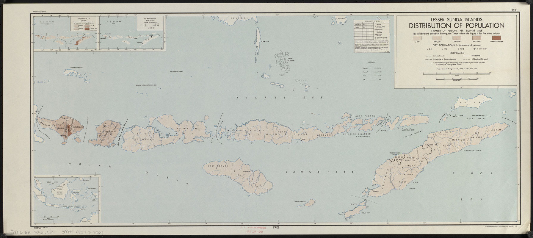
Lesser Sunda Islands, distribution of population
Item Information
- Title:
- Lesser Sunda Islands, distribution of population
- Cartographer:
- United States. Office of Strategic Services. Research and Analysis Branch
- Lithographer:
- United States. Office of Strategic Services. Reproduction Branch
- Name on Item:
-
R & A, O.S.S.
- Date:
-
1945
- Format:
-
Maps/Atlases
- Location:
-
Boston Public Library
Norman B. Leventhal Map & Education Center - Collection (local):
-
Norman B. Leventhal Map & Education Center Collection
- Subjects:
-
Population density--Lesser Sunda Islands--Maps
Chinese--Lesser Sunda Islands--Population--Maps
Europeans--Lesser Sunda Islands--Population--Maps
Lesser Sunda Islands--Maps
- Places:
-
Lesser Sunda Islands (area)
- Extent:
- 1 map : color ; 30 x 70 cm
- Terms of Use:
-
No known copyright restrictions.
No known restrictions on use.
- Publisher:
-
[Washington, D.C.] :
Lithographed in the Reproduction Branch, OSS
- Edition:
- Provisional edition
- Scale:
-
Scale approximately 1:2,100,000
- Language:
-
English
- Notes:
-
Includes location map, reliability chart, and 2 insets : Distribution of Chinese -- Distribution of Europeans.
ʺNo. 6467.ʺ
- Identifier:
-
06_01_015280
- Call #:
-
G8116.E2 1945 .U55
- Barcode:
-
39999085934527


