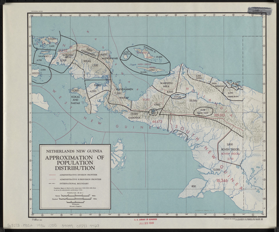
Netherlands New Guinea : approximation of population distribution
Item Information
- Title:
- Netherlands New Guinea : approximation of population distribution
- Cartographer:
- United States. Office of Strategic Services. Research and Analysis Branch
- Lithographer:
- United States. Office of Strategic Services. Reproduction Branch
- Name on Item:
-
compiled and drawn in the Branch of Research and Analysis, OSS ; Geographic Division, M.I.D.
- Date:
-
1944
- Format:
-
Maps/Atlases
- Location:
-
Boston Public Library
Norman B. Leventhal Map & Education Center - Collection (local):
-
Norman B. Leventhal Map & Education Center Collection
- Subjects:
-
Papua (Indonesia)--Administrative and political divisions--Maps
Papua (Indonesia)--Population--Maps
- Places:
-
IndonesiaWest New Guinea (province)
- Extent:
- 1 map : color ; 31 x 36 cm
- Terms of Use:
-
No known copyright restrictions.
No known restrictions on use.
- Publisher:
-
[Washington, D.C.?] :
Reproduction Branch, OSS
- Edition:
- Provisional edition
- Scale:
-
Scale approximately 1:3,700,000
- Projection:
- Mercator's projection
- Language:
-
English
- Notes:
-
Relief shown by shading.
"No. 3041."
"2 February 1944."
Population figures from 1930-1936.
- Identifier:
-
06_01_015313
- Call #:
-
G8073.P3E2 1936 .U55
- Barcode:
-
39999085934428


