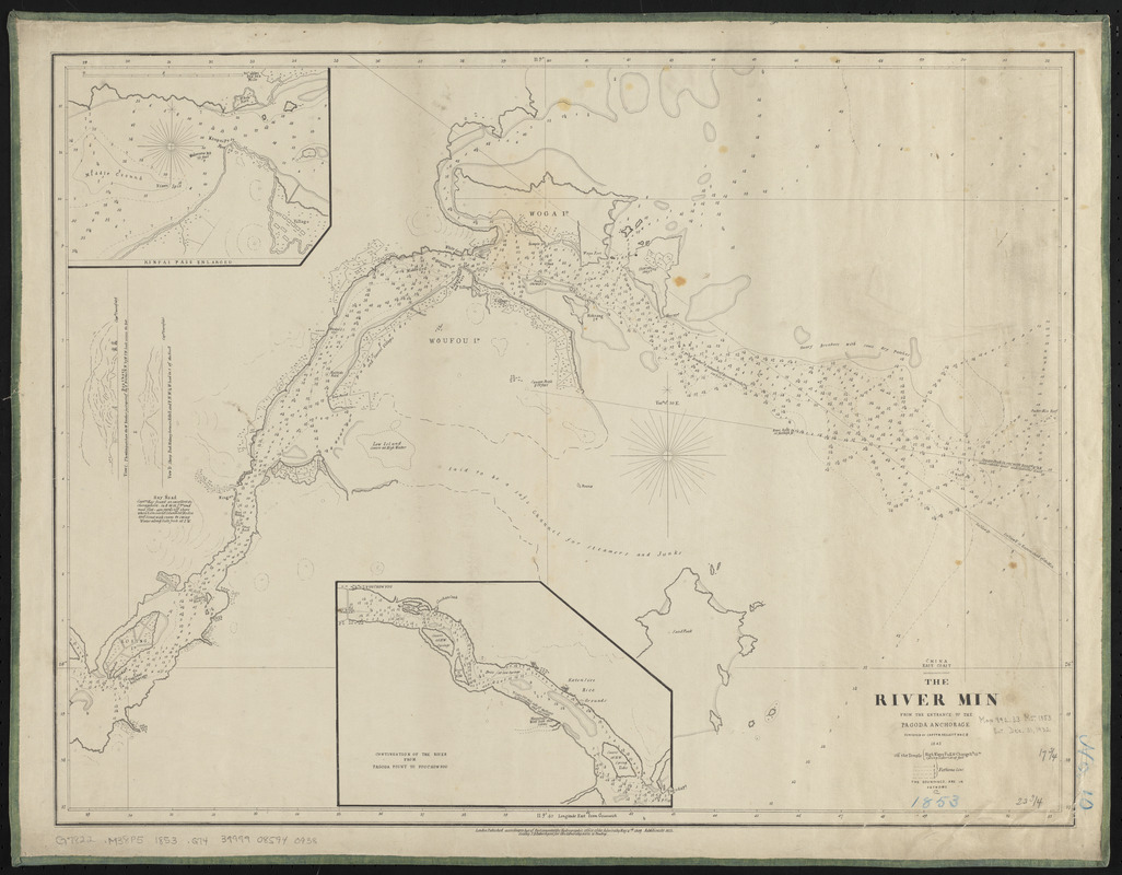
China, east coast, the River Min from the entrance to the Pagoda Anchorage
Item Information
- Title:
- China, east coast, the River Min from the entrance to the Pagoda Anchorage
- Title (alt.):
-
River Min from the entrance to the Pagoda Anchorage
- Issuing body:
- Great Britain. Hydrographic Office
- Surveyor:
- Kellett, Henry, 1806-1875
- Name on Item:
-
surveyed by Captn. R. Kellett RNCB, 1843
- Date:
-
1853
- Format:
-
Maps/Atlases
- Location:
-
Boston Public Library
Norman B. Leventhal Map & Education Center - Collection (local):
-
Norman B. Leventhal Map & Education Center Collection
- Subjects:
-
Nautical charts--China--Min River (Fujian Sheng)
Min River (Fujian Sheng, China)--Maps
- Places:
-
ChinaFujian Sheng (province)Min Jiang (river)
- Extent:
- 1 map ; 46 x 61 cm
- Terms of Use:
-
No known copyright restrictions.
No known restrictions on use.
- Publisher:
-
London :
Hydrographic Office of the Admiralty
- Scale:
-
Scale approximately 1:65,000
- Language:
-
English
- Notes:
-
Relief shown by form lines. Depths shown by soundings and isolines.
Insets: Kinpai Pass enlarged -- Continuation of the river from Pagoda Point to Fouchowpou.
Includes 2 views.
"Additions to 1853."
- Identifier:
-
06_01_015908
- Call #:
-
G7822.M38P5 1853 .G74
- Barcode:
-
39999085940938


