Chart of Sandusky Bay
Item Information
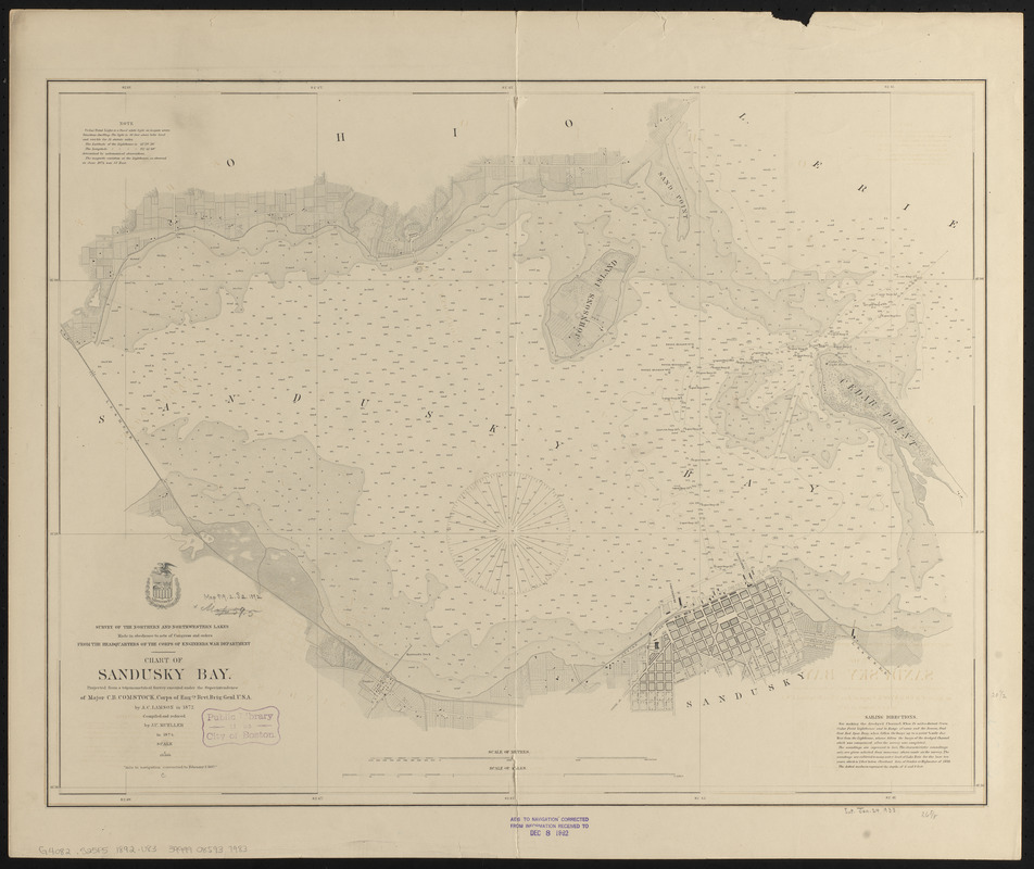
- Title:
- Chart of Sandusky Bay
- Issuing body:
- U.S. Lake Survey
- Surveyor:
- Lamson, A. C.
- Draftsman:
- Mueller, J. U.
- Contributor:
- United States. Topographical Bureau
- Surveyor:
- Comstock, C. B. (Cyrus Ballou), 1831-1910
- Name on Item:
-
projected from a trigonometrical survey executed under the superintendence of Major C.B. Comstock, Corps of Engrs. Brvt. Brig. Genl. U.S.A. by A.C. Lamson in 1872 ; compiled and reduced by J.U. Mueller in 1874
- Date:
-
1892
- Format:
-
Maps/Atlases
- Location:
-
Boston Public Library
Norman B. Leventhal Map & Education Center - Collection (local):
-
Norman B. Leventhal Map & Education Center Collection
- Subjects:
-
Nautical charts--Ohio--Sandusky Bay
Sandusky Bay (Ohio)--Maps
- Places:
-
OhioSandusky Bay
- Extent:
- 1 map ; 51 x 66 cm
- Terms of Use:
-
No known copyright restrictions.
No known restrictions on use.
- Publisher:
-
[Washington, D.C.] :
[U.S. Lake Survey]
- Scale:
-
Scale 1:20,000
- Language:
-
English
- Notes:
-
Depths shown by soundings and gradient tints.
Includes notes and sailing directions.
"Aids to navigation corrected to February 2, 1887."
Stamped in purple at bottom: Aids to navigation corrected from information received to Dec 8 1892."
- Identifier:
-
06_01_015590
- Call #:
-
G4082.S25P5 1892 .U83
- Barcode:
-
39999085937983


