“...our manifest destiny to overspread and to possess the whole of the continent which Providence has given us for the development of the great experiment of liberty and federated self-government entrusted to us.” - John L. O’Sullivan, 1845
The idea that the United States was destined to possess the “whole of the continent” took root in Euro-American culture during the first half of the 19th century, and by the end of the century, the land and its inhabitants had undergone a striking transformation. Due to the discovery of gold in 1848, few areas of the continent were as transformed as the area we now call California.
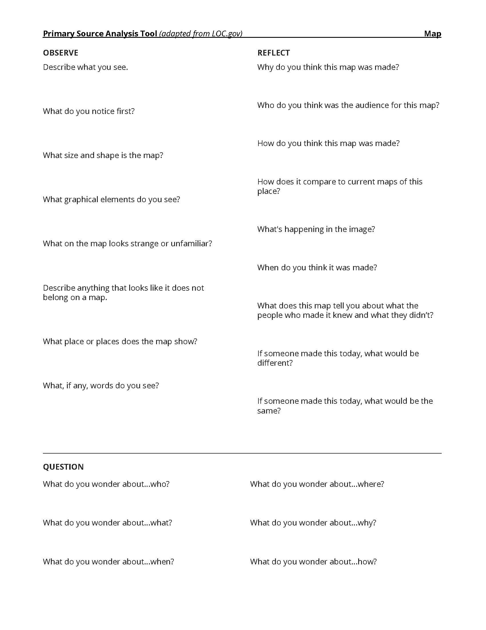
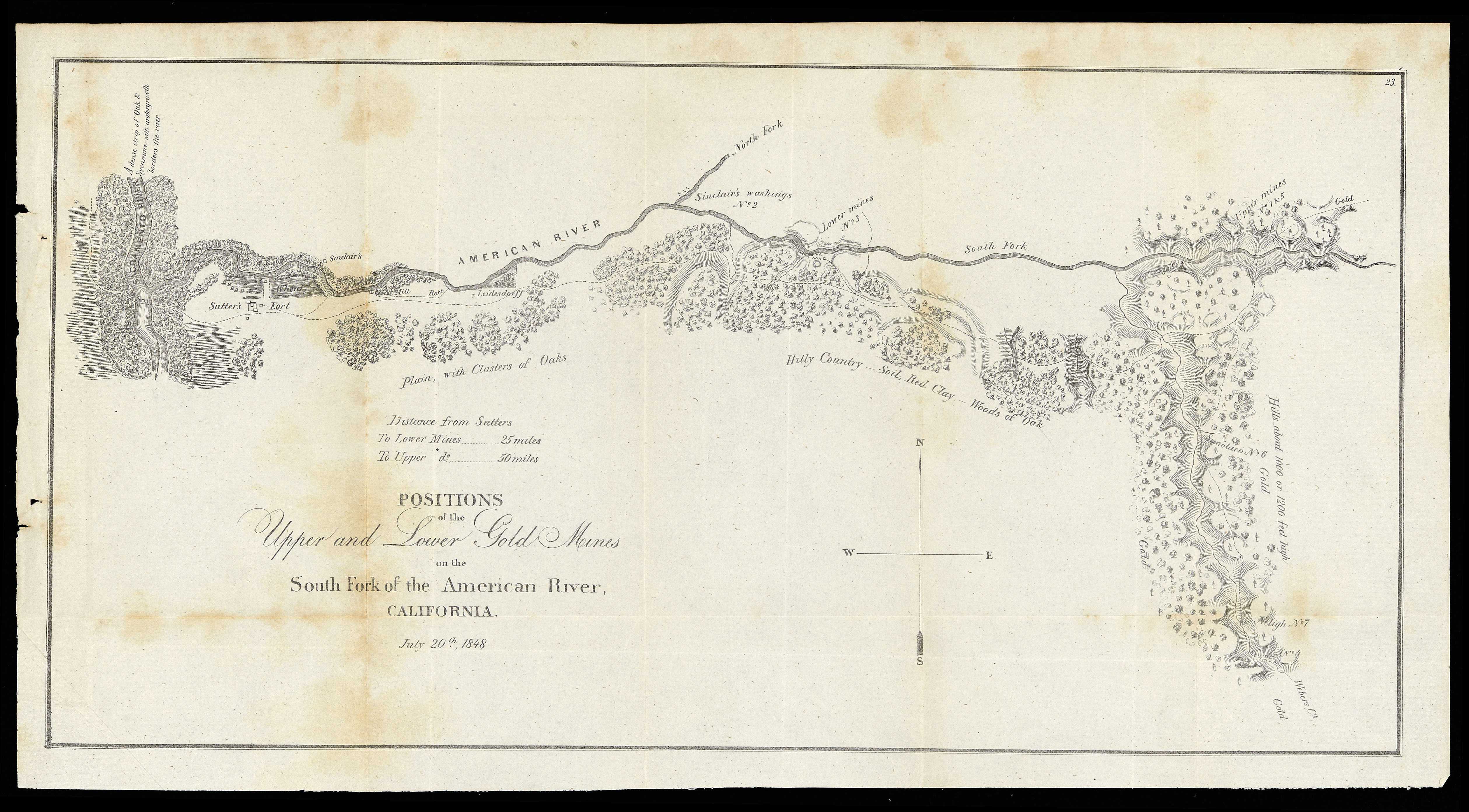
This map set contains a number of maps and images that can be used to introduce and enrich your study of the history of the California Gold Rush. Included in this set are suggested questions for inquiry that have been adapted from the Library of Congress Teaching with Primary Sources.
This set presents sources that allow students to analyze depictions of the land and its people, as well as the events and developments that took place there during the California Gold Rush.
For more map resources on the Gold Rush and Westward expansion, visit the exhibition page for America Transformed: Mapping the 19th Century.
Suggestions for using these sources with students:
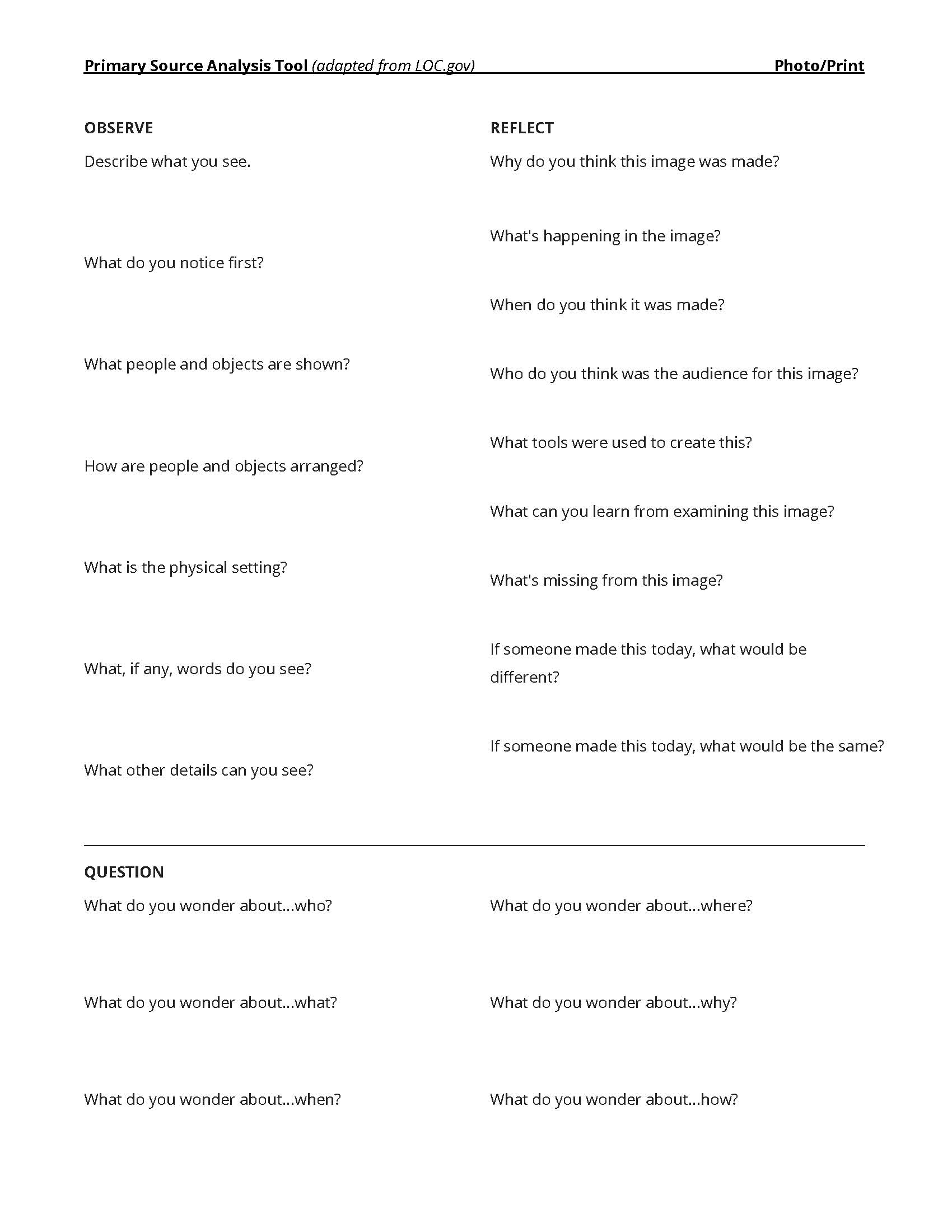
Select one photograph (such as the one on page 11) and have students complete the observe, reflect, question process as an entire class or in small groups.
If asking students to analyze maps, break them into smaller groups and have each analyze a different map. Then ask students to rotate with another group. How does the second map add or complicate something they discussed with their first map?
If asking students to analyze maps, break them into smaller groups and have each analyze a different map. Then ask students to rotate with another group. How does the second map add or complicate something they discussed with their first map?
When analyzing a map or series of maps, ask students to note which, if any, people are noted on the maps. Are Native people present on the maps? How are they identified? What symbols are used to show their presence? How do students think the Gold Rush might have affected their lands?
What did the students find that backed up their ideas of California during Westward Expansion? What did the students find that complicated it?
Follow-Up Options
Library of Congress's Primary Source Analysis Tool has an extra section for further investigation. Have each student choose one or two of the primary sources they looked at in this lesson, and answer the Further Investigation prompts:
For Maps...
1. What more do you want to know, and how can you find out?
2. Write a brief description of the map in your own words.
3. Choose another of the maps with a similar scale. Compile a list of changes over time and other differences and similarities between the maps.
For Photographs or Prints...
1. What more do you want to know, and how can you find out?
2. Write a caption for the image.
3. Predict what will happen one minute after the scene shown in the image. One hour after? Explain the reasoning behind your predictions.
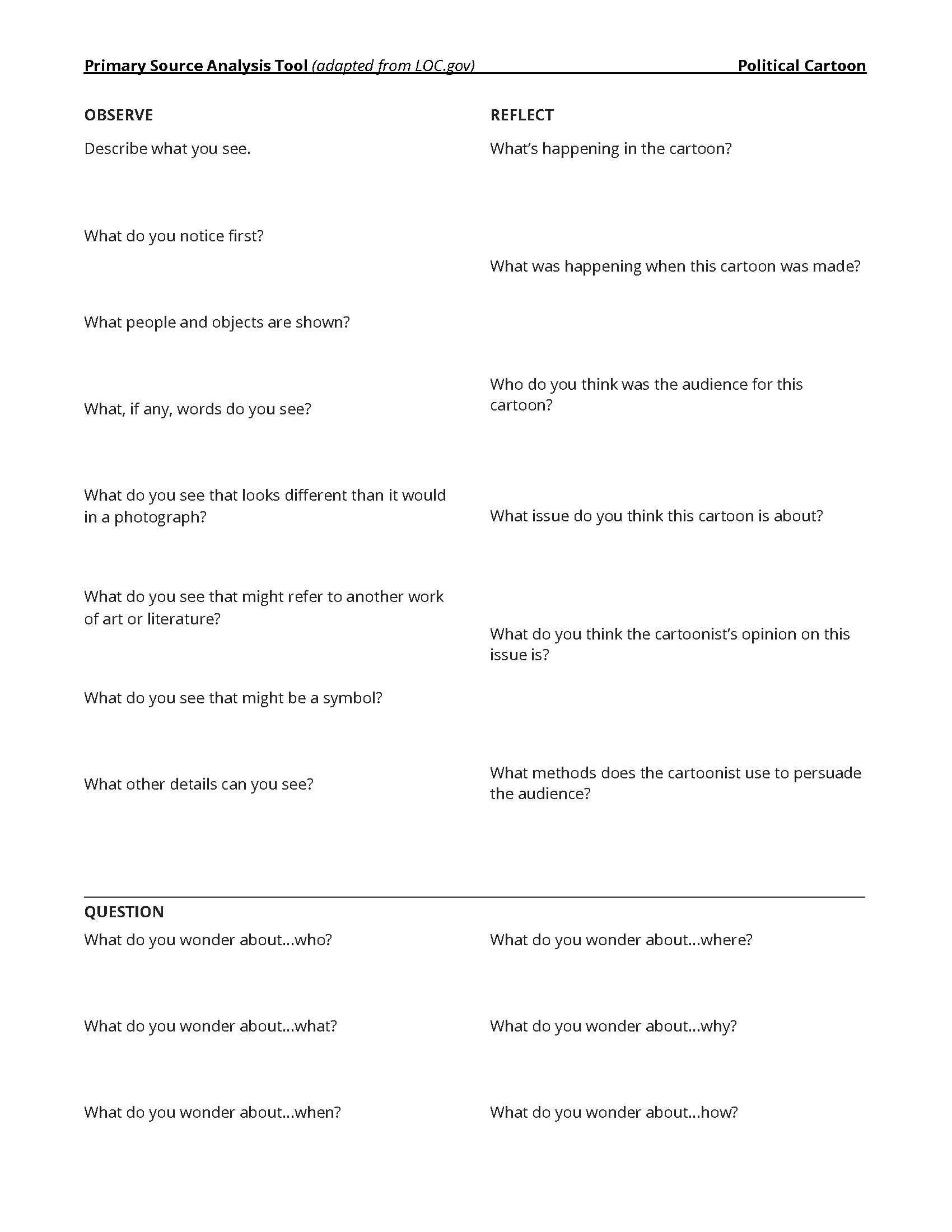
For Political Cartoons...
1. What more do you want to know, and how can you find out?
2. Think about the point the cartoonist was trying to make with this cartoon. Were you persuaded? Why or why not?
3. Think about the point of view of the cartoonist. Describe or draw how the cartoon might be different if it had been created by a cartoonist with a different point of view.
Created by Renee Keul, Cartographic Outreach Coordinator, Osher Map Library and Smith Center for Cartographic Education, University of Southern Maine


