Toggle navigation
LMEC Home
Exhibitions
Georeferencing
Tools for Teachers
Collections
My Favorites
Sign Up / Log In
Search
Search the map portal
Map Collection
Map Collection
Map Sets
Search
Search
Search for
Search In
All Fields
Creator
Title
Subject
Place
Search All Digital Collections
Advanced Search
149 Results
My Search
Start Over
1886
Remove constraint 1886
Filter your Search
Place
North and Central America
114
United States
79
Middlesex (county)
19
Suffolk (county)
14
Boston
12
Worcester (county)
10
Wakefield
9
Canada
8
more
Place
»
Topic
Zoning
9
Boston (Mass.)--Maps
8
China--Historical geography--Maps
6
Brookline (Mass.)--Maps
3
Massachusetts--Maps
3
Atlantic Coast (N.S.)--Maps
2
Atlantic Coast (New England)--Maps
2
Boston (Mass.)--Aerial views
2
more
Topic
»
Date
Date range begin
–
Date range end
Current results range from
1831
to
1994
View distribution
Creator
United States. Hydrographic Office
37
Burleigh, L. R., 1853-1923
22
Herrmann, Albert, 1886-1945
11
Comey, Arthur C. (Arthur Coleman), 1886-1954
10
Franke, M. (Max)
7
Waddey, J. A. (John A.)
6
Birch, C. E. (Charles E.)
5
Ruebsam, E. A. (E. August)
5
more
Creator
»
Format
Maps/Atlases
149
Georeferenced
Yes
10
No
139
Collection
Norman B. Leventhal Map Center Collection
133
Urban Maps
65
Boston and New England Maps
58
Maritime Charts and Atlases
43
Lucius Beebe Memorial Library Historic Maps
10
Massachusetts Real Estate Atlases
5
Town plans, 1830
1
Available to use
No known restrictions
133
Search Constraints
Sort by title
relevance
title
date (asc)
date (desc)
Number of results to display per page
50 per page
10
per page
20
per page
50
per page
100
per page
View results as:
grid view
map view
Search Results
1.
Agricultural map of the Jackson Purchase
2.
Amherst, Mass
3.
Arabia--Red Sea, Mokha Road : from a British survey in 1882
4.
Ashburnham, Mass
5.
Asia, ca. 100 A.D.
6.
Asia under the Mongols, 1290 A.D.
7.
Atlas of Gardner town, Massachusetts
8.
Atlas of Gardner town, Massachusetts
9.
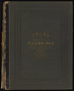
Atlas of the city of Cambridge, Massachusetts : from official records, private plan and actual surveys
10.
Atlas of the city of Cambridge, Massachusetts
11.
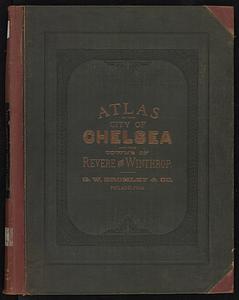
Atlas of the city of Chelsea and the towns of Revere and Winthrop : from actual surveys and official plans
12.
Atlas of the city of Chelsea and the towns of Revere and Winthrop, Massachusetts
13.
Atlas of the city of Newton, Massachusetts : compiled from actual surveys and records
14.
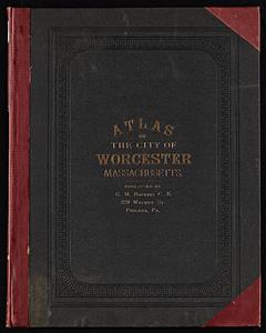
Atlas of the city of Worcester, Massachusetts
15.
Atlas of Winchendon town, Massachusetts
16.
Ayer, Mass
17.
Bahama Islands, Crooked Island Anchorage : from a British survey in 1834
18.
Baldwinville, Mass
19.
The beginnings of ancient China, 1900-1300 B.C.
20.
Bellows Falls, Vt
21.
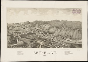
Bethel, Vt : 1886
22.
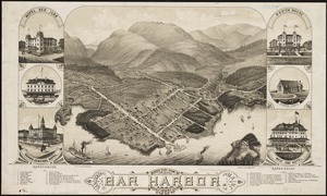
Bird's eye view of Bar Harbor, Mount Desert Island, Hancock Co., Maine, 1886
23.
Block Island, Rhode Island
24.
Brattleboro, Vt : 1886
25.
Caldera Bay, west end of the island of Mindanao, Sooloo Sea
26.
Chart of Isle Royale including north west coast of Lake Superior
27.
China, Korean Archipelago, Nan How Group, Port Hamilton : from the most recent British survey
28.
China's situation in the world
29.
City of Boston zoning map
30.
Coast chart no. 186 : Choctawhatchee Inlet to Pensacola Entrance, West Florida : report of Navy Yard Site Commission, Gulf of...
31.
The contending states - boundaries of 350 B.C.
32.
Deering, Cumberland County, Maine : 1886
33.
East Douglas, Mass : 1886
34.
East Pepperell, Mass : 1886
35.
East River front of New York and Brooklyn from the Battery and Red Hook to Blackwell's Island
36.
Eastern, Central and Southern Asia, 1760 A.D.
37.
Edgartown, Duke's County, Martha's Vineyard Id., Mass
38.
Edinburgh in 1886
39.
The embankment and park on Charles River Bay
40.
Europe in search of new routes to India and China, 1486-1616 A.D.
41.
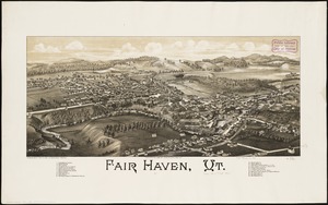
Fair Haven, Vt
42.
Foreign religions in Central Asia and China up to the 14th century A.D.
43.
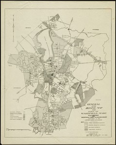
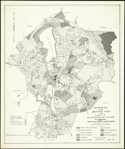
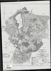
General and zoning map for town of Wakefield, Mass.
44.
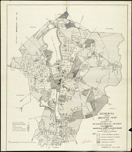
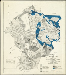
General and zoning map for town of Wakefield Mass.
45.
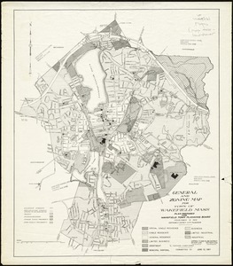
General and zoning map for town of Wakefield Mass.
46.
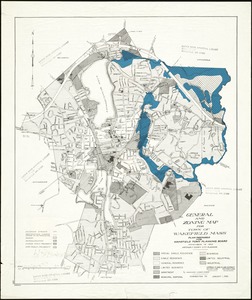
General and zoning map for town of Wakefield Mass.
47.
General and zoning map for town of Wakefield Mass.
48.
General and zoning map for town of Wakefield Mass.
49.
General and zoning map for town of Wakefield Mass.
50.
Geological map of south-west Pennsylvania, with special reference to the Pittsburgh coal bed
‹ Prev
Next ›
1
2
3