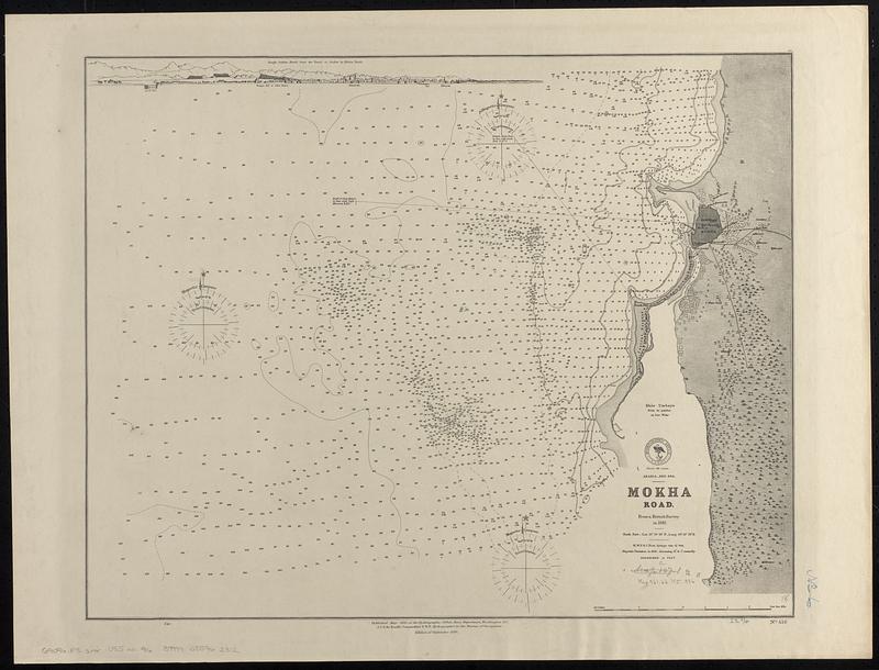
Arabia--Red Sea, Mokha Road : from a British survey in 1882
Item Information
- Title:
- Arabia--Red Sea, Mokha Road : from a British survey in 1882
- Issuing body:
- United States. Hydrographic Office
- Date:
-
1886
- Format:
-
Maps/Atlases
- Genre:
-
Nautical charts
- Location:
-
Boston Public Library
Norman B. Leventhal Map & Education Center - Collection (local):
-
Norman B. Leventhal Map & Education Center Collection
- Subjects:
-
Mukhā (Yemen)--Maps
Nautical charts--Yemen (Republic)--Mukhā
- Places:
-
YemenTaʻizzMocha
- Extent:
- 1 map ; 46 x 58 cm
- Terms of Use:
-
No known copyright restrictions.
No known restrictions on use.
- Publisher:
-
Washington, D.C. :
Hydrographic Office
- Edition:
- Edition of September 1886
- Scale:
-
Scale approximately 1:25,500
- Language:
-
English
- Notes:
-
Depths shown by soundings and isolines.
Includes coastal view: Rough outline sketch from the vessel at anchor in Mocha Roads.
- Identifier:
-
06_01_017719
- Call #:
-
G9096.P5 svar .U55 no. 416
- Barcode:
-
39999085962312


