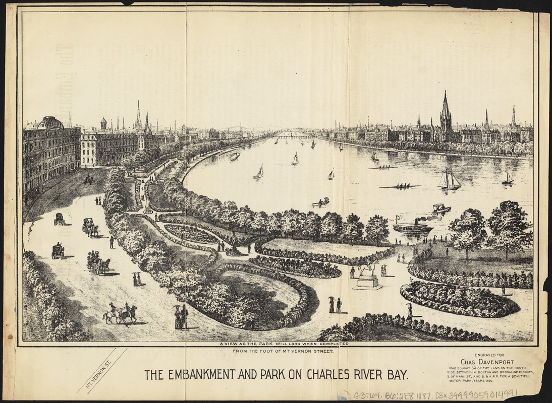
The embankment and park on Charles River Bay
Item Information
- Title:
- The embankment and park on Charles River Bay
- Creator:
- Davenport, Charles.
- Name on Item:
-
engraved for Chas. Davenport.
- Date:
-
[1886]
- Format:
-
Maps/Atlases
- Location:
-
Boston Public Library
Norman B. Leventhal Map & Education Center - Collection (local):
-
Norman B. Leventhal Map & Education Center Collection
- Subjects:
-
Boston (Mass.)--Aerial views
Charles River (Mass.)--Aerial views
- Places:
-
MassachusettsCharles (river)
MassachusettsSuffolk (county)Boston
- Extent:
- 1 view ; 19 x 29 cm + 1 v. (11 p. ; 23 cm.)
- Terms of Use:
-
No known copyright restrictions.
No known restrictions on use.
- Publisher:
-
Boston :
Rand, Avery, & Company
- Scale:
-
Not drawn to scale
- Language:
-
English
- Notes:
-
On verso: text relating benefits of taking on the embankment project, written by Charles Davenport.
Appears in: "Map and description of The New Boston, the Metropolis of New England and the Charles River Bay." Boston : Rand, Avery & Co., 1886.
"A view as the park will look when completed from the foot of Mt. Vernon Street."
- Notes (date):
-
This date is inferred.
- Identifier:
-
06_01_005531
- Call #:
-
G3764.B6 1887 .D3x
- Barcode:
-
39999059014991


