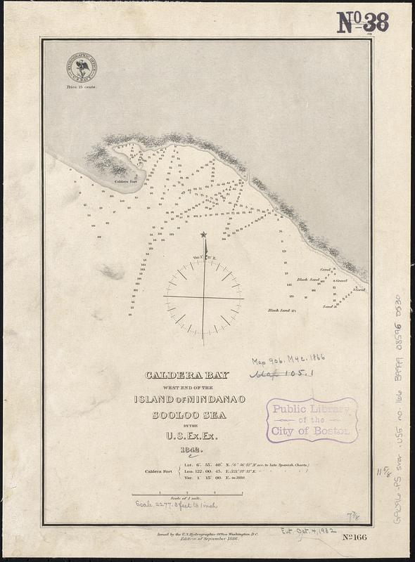
Caldera Bay, west end of the island of Mindanao, Sooloo Sea
Item Information
- Title:
- Caldera Bay, west end of the island of Mindanao, Sooloo Sea
- Issuing body:
- United States. Hydrographic Office
- Surveyor:
- United States Exploring Expedition (1838-1842)
- Name on Item:
-
by the U.S. Ex. Ex., 1842
- Date:
-
1886
- Format:
-
Maps/Atlases
- Genre:
-
Nautical charts
- Location:
-
Boston Public Library
Norman B. Leventhal Map & Education Center - Collection (local):
-
Norman B. Leventhal Map & Education Center Collection
- Subjects:
-
Caldera Bay (Philippines)--Maps
Nautical charts--Philippines--Caldera Bay
- Places:
-
PhilippinesZamboanga Sibugay (province)Zamboanga Peninsula (area)
Caldera Bay
- Extent:
- 1 map ; 30 x 20 cm
- Terms of Use:
-
No known copyright restrictions.
No known restrictions on use.
- Publisher:
-
Washington, D.C. :
Issued by the U.S. Hydrographic Office
- Edition:
- Edition of September 1886
- Scale:
-
Scale approximately 1:23,600
- Language:
-
English
- Notes:
-
Depths shown by soundings.
- Identifier:
-
06_01_017541
- Call #:
-
G9096.P5 svar .U55 no. 166
- Barcode:
-
39999085960530


