Toggle navigation
LMEC Home
Exhibitions
Georeferencing
Tools for Teachers
Collections
My Favorites
Sign Up / Log In
Search
Search the map portal
Map Collection
Map Collection
Map Sets
Search
Search
Search for
Search In
All Fields
Creator
Title
Subject
Place
Search All Digital Collections
Advanced Search
198 Results
My Search
Start Over
1877
Remove constraint 1877
Filter your Search
Place
North and Central America
78
United States
65
Europe
24
Oceania
24
Chile
14
Asia
12
French Polynesia
11
Magallanes y de la Antártica Chilena
11
more
Place
»
Topic
United States Exploring Expedition (1838-1842)
16
Canada--Boundaries--United States--Maps
13
United States--Boundaries--Canada--Maps
13
United States--History--War of 1812--Territorial questions--Maps
13
Balkan Peninsula--Maps
7
Tuamotu Archipelago (French Polynesia)--Maps
7
Turkey--Maps
7
Coasts--Chile--Maps
4
more
Topic
»
Date
Date range begin
–
Date range end
Current results range from
1755
to
1952
View distribution
Creator
United States. Hydrographic Office
42
Wilkes, Charles, 1798-1877
38
United States Exploring Expedition (1838-1842)
35
Sherman & Smith
21
Barclay, Anthony, 1792-1877
13
Porter, Peter B. (Peter Buell), 1773-1844
13
United States. Light-House Board
13
Thompson, David, 1770-1857
11
more
Creator
»
Format
Maps/Atlases
197
Manuscripts
1
Photographs
1
Georeferenced
Yes
10
No
188
Collection
Norman B. Leventhal Map Center Collection
187
Maritime Charts and Atlases
81
Boston and New England Maps
42
Urban Maps
42
American Antiquarian Society Collection
4
American Revolutionary War-Era Maps
4
Town plans, 1830
4
American Textile History Museum Image Collection
2
more
Collection
»
Available to use
No known restrictions
188
Creative Commons license
2
Search Constraints
Sort by relevance
relevance
title
date (asc)
date (desc)
Number of results to display per page
20 per page
10
per page
20
per page
50
per page
100
per page
View results as:
grid view
map view
Search Results
161.
Rumänien und Bulgarien
162.
Türkei und Griechenland
163.
Bancroft's official guide map of city and county of San Francisco
164.
Bird's eye view of Portsmouth, Rockingham Co., New Hampshire
165.
Hale's map of the central & western parts of Massachusetts, with a part of New-York
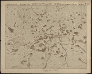
166.
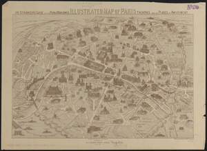
Illustrated map of London, or stranger's guide to the public buildings, theatres, music halls, & and all places of interest
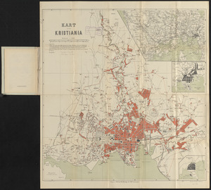
167.
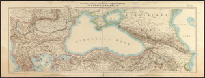
Illustrated map of Paris : or stranger's guide to the public buildings, theatres, and all places of amusement
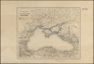
168.
Kart over Kristiania
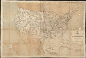
169.
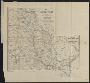
Karte des russisch-türkischen kriegsschauplatzes in Europa und Asien
170.
Küstenländer des Schwarzen Meeres
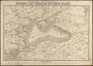
171.
Map of the Boston and Northwestern, Massachusetts Central, and Boston and Poughkeepsie Railroads and their connections
172.
Map of the United States
173.
Die Moldau
174.
Plan of Milton Cemetery
175.
Primary triangulation between the Maryland and Georgia base-lines
176.
Seat of the Russo-Turkish War
177.
Umgebungskarte von Salzburg
178.
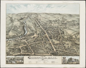
View of Greenfield, Mass
179.
View of Waltham, Mass
180.
Die Walachei
‹ Prev
Next ›
1
2
…
5
6
7
8
9
10