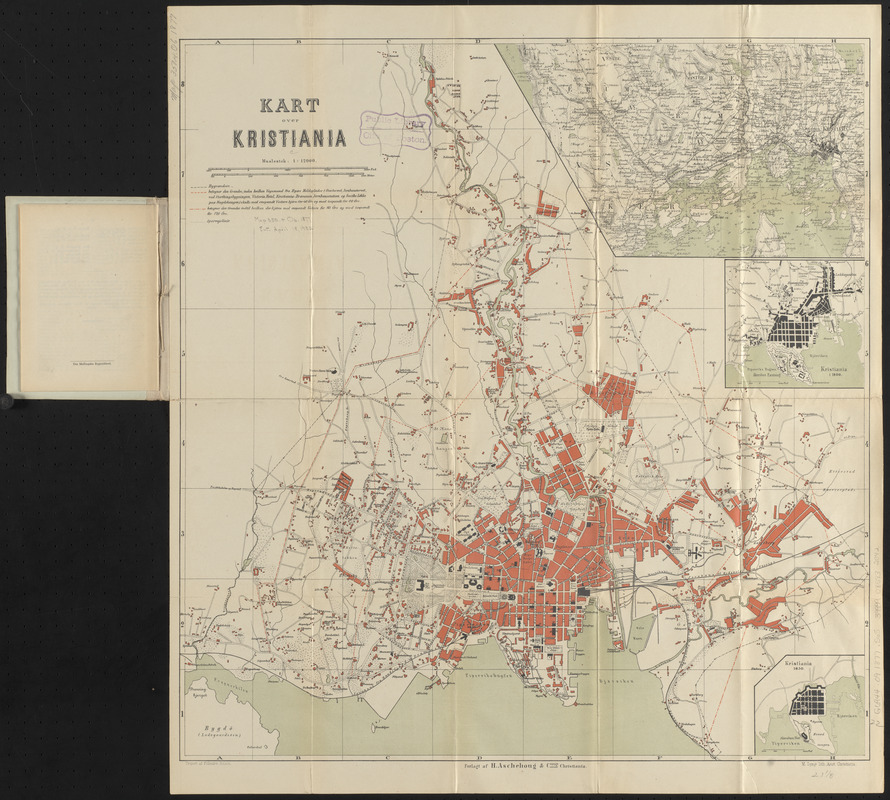
Kart over Kristiania
Item Information
- Title:
- Kart over Kristiania
- Title (alt.):
-
Kart over Kristiania med vejledende tekst
- Cartographer:
- Solem, Johannes
- Lithographer:
- Lyngs, M.
- Publisher:
- H. Aschehoug & co.
- Name on Item:
-
tegnet af Pr. lieutnt. Solem
- Date:
-
1877
- Format:
-
Maps/Atlases
- Location:
-
Boston Public Library
Norman B. Leventhal Map & Education Center - Collection (local):
-
Norman B. Leventhal Map & Education Center Collection
- Subjects:
-
Oslo (Norway)--Maps
- Places:
-
NorwayOslo (county)Oslo
- Extent:
- 1 map : color ; 56 x 54 cm, folded in cover 16 x 13 cm + text (21 pages ; 16 cm)
- Terms of Use:
-
No known copyright restrictions.
No known restrictions on use.
- Publisher:
-
Christiania ; Christiania :
Forlagt af H. Aschehoug & Comp. ; M. Lyngs. lith. anst.
- Edition:
- Fjerde omarbejdede udgave
- Scale:
-
Scale 1:12,000
- Language:
-
Danish
- Notes:
-
Insets: [Kristiania and surroundings] -- Kristiania i 1800 -- Kristiania 1650.
Edition statement and date of publication from cover.
Accompanied by guide with index "Kortfattet beskrivelse over Kristiania med omegn til vejledning for rejsende, samt takster for vognmaend og bybud" (16 pages).
- Identifier:
-
06_01_015151
- Call #:
-
G6944.O9 1877 .S65
- Barcode:
-
39999085932042


