Toggle navigation
LMEC Home
Exhibitions
Georeferencing
Tools for Teachers
Collections
My Favorites
Sign Up / Log In
Search
Search the map portal
Map Collection
Map Collection
Map Sets
Search
Search
Search for
Search In
All Fields
Creator
Title
Subject
Place
Search All Digital Collections
Advanced Search
89 Results
My Search
Start Over
1969
Remove constraint 1969
Filter your Search
Place
United States
84
North and Central America
15
Boston
10
Suffolk (county)
10
Massachusetts
4
South End
3
Lesser Antilles
2
Brookline
1
more
Place
»
Topic
United States--Maps
70
Elections--United States--Maps
33
Population density--United States--Maps
14
Suffrage--United States--Maps
6
Voting--United States--Maps
6
City planning--Massachusetts--Boston--Maps
5
Public Lands--United States--Maps
4
Women--Suffrage--United States--Maps
4
more
Topic
»
Date
Date range begin
–
Date range end
Current results range from
1730
to
1997
View distribution
Creator
Wright, John Kirtland, 1891-1969
71
Paullin, Charles Oscar, 1868 or 1869-1944
70
Boston Redevelopment Authority
8
Delarochette, L. (Louis), 1731-1802
2
Jefferys, Thomas, -1771
2
Abbe Museum
1
Boston Redevelopment Authority. Transportation Planning Department
1
Brookline (Mass.). Dept. of Public Works. Engineering Division
1
more
Creator
»
Format
Maps/Atlases
89
Georeferenced
Yes
23
No
66
Collection
Norman B. Leventhal Map Center Collection
83
Boston and New England Maps
12
Urban Maps
10
Boston Redevelopment Authority Collection
6
David Judkins Weaver Papers
2
American Revolutionary War-Era Maps
1
Richard H. Brown Revolutionary War Map Collection at Mount Vernon
1
Town plans, 1830
1
Available to use
No known restrictions
18
Creative Commons license
1
Search Constraints
Sort by date (asc)
relevance
title
date (asc)
date (desc)
Number of results to display per page
20 per page
10
per page
20
per page
50
per page
100
per page
View results as:
grid view
map view
Search Results
1.
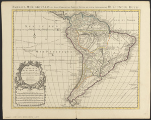
L'Amerique Meridionale : dressée sur les observations de Mrs. de L'Academie Royale des Sciences & quelques autres, & sur les...
2.
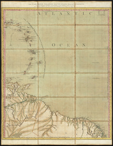
The Caribbee Islands and Guayana
3.
The Caribbee Islands and Guayana
4.
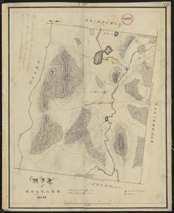
Plan of Holland made by Emerson Johnson, dated 1831
5.
Geologic map of Oklahoma
6.
Abolition of Slavery, 1863
7.
Alien and Sedition Acts, February 25, 1799, Votes on resolutions for repeal
8.
American explorations in the West, 1803-1852
9.
Compromise of 1850, September 6, 1850, vote on passage of Texas-New Mexico provisions
10.
Density of population, 1790
11.
Density of population, 1800
12.
Density of population, 1810
13.
Density of population, 1820
14.
Density of population, 1830
15.
Density of population, 1840
16.
Density of population, 1850
17.
Density of population, 1860
18.
Density of population, 1870
19.
Density of population, 1880
20.
Density of population, 1890
‹ Prev
Next ›
1
2
3
4
5