Toggle navigation
LMEC Home
Exhibitions
Georeferencing
Tools for Teachers
Collections
My Favorites
Sign Up / Log In
Search
Search the map portal
Map Collection
Map Collection
Map Sets
Search
Search
Search for
Search In
All Fields
Creator
Title
Subject
Place
Search All Digital Collections
Advanced Search
2843 Results
My Search
Start Over
atlas
Remove constraint atlas
Filter your Search
Place
North and Central America
1,401
United States
874
Europe
351
Canada
271
Suffolk (county)
163
Boston
157
Asia
136
South America
101
more
Place
»
Topic
Landowners--Massachusetts--Boston--Maps
115
Real property--Massachusetts--Boston--Maps
106
United States--Maps
87
Boston (Mass.)--Maps
63
United States--History--French and Indian War, 1754-1763--Maps
63
Saint Lawrence River--Maps
41
Nautical charts--Early works to 1800
39
North America--Maps--Early works to 1800
36
more
Topic
»
Date
Date range begin
–
Date range end
Current results range from
1482
to
2023
View distribution
Creator
United States. Hydrographic Office
582
Des Barres, Joseph F. W. (Joseph Frederick Wallet), 1722-1824
118
Ptolemy, 2nd cent
100
Bromley, George Washington
99
Bromley, Walter Scott
97
G.W. Bromley & Co.
75
Carey, Mathew, 1760-1839
74
Paullin, Charles Oscar, 1868 or 1869-1944
70
more
Creator
»
Format
Maps/Atlases
2,827
Manuscripts
58
Books
37
Prints
8
Documents
5
Drawings/Illustrations
1
Georeferenced
Yes
142
No
2,701
Collection
Norman B. Leventhal Map Center Collection
2,386
Maritime Charts and Atlases
1,150
American Revolutionary War-Era Maps
504
Boston and New England Maps
374
Urban Maps
250
Massachusetts Real Estate Atlases
144
William L. Clements Library Collection
92
Mapping Boston Collection
61
more
Collection
»
Available to use
No known restrictions
2,292
Creative Commons license
158
Search Constraints
Sort by date (desc)
relevance
title
date (asc)
date (desc)
Number of results to display per page
20 per page
10
per page
20
per page
50
per page
100
per page
View results as:
grid view
map view
Search Results
161.
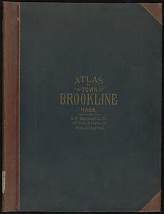
Atlas of the town of Brookline, Norfolk County, Massachusetts
162.
The Rand McNally new commercial atlas map of North Carolina
163.
Atlas of the city of Boston : Dorchester
164.
Atlas of the city of Boston : Dorchester : from actual surveys and official plans
165.
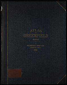
Richards standard atlas of the town of Greenfield, Massachusetts
166.
Atlas of the city of Boston : Boston proper and Back Bay
167.
Atlas of the city of Boston : Boston proper and Back Bay : from actual surveys and official plans
168.
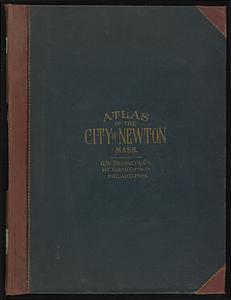
Atlas of the city of Newton, Massachusetts : from actual surveys and official plans
169.
Atlas of the city of Newton, Massachusetts
170.
Insurance maps of Gloucester, Massachusetts
171.
The Rand-McNally new commercial atlas map of Alabama
172.
Subject nationalities of the German alliance : from the Allies' peace terms as stated in their reply to President Wilson's note...
173.
Atlas of the city of Boston : wards 25 and 26, Brighton
174.
Atlas of the city of Boston : wards 25 & 26, Brighton : from actual surveys and official plans
175.
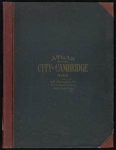
Atlas of the city of Cambridge, Massachusetts : from actual surveys and official plans
176.
Atlas of the city of Cambridge, Massachusetts
177.
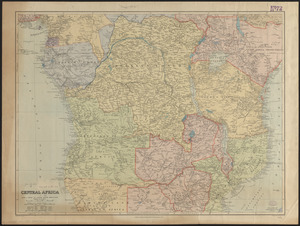
Central Africa
178.
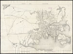
City of Salem
179.
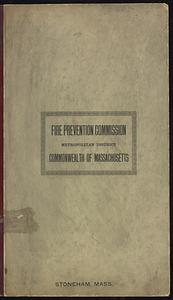
Insurance maps of Stoneham, Middlesex Co., Massachusetts
180.
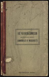
Insurance maps of Watertown, Middlesex County, Massachusetts
‹ Prev
Next ›
1
2
…
5
6
7
8
9
10
11
12
13
…
142
143