Toggle navigation
LMEC Home
Exhibitions
Georeferencing
Tools for Teachers
Collections
My Favorites
Sign Up / Log In
Search
Search the map portal
Map Collection
Map Collection
Map Sets
Search
Search
Search for
Search In
All Fields
Creator
Title
Subject
Place
Search All Digital Collections
Advanced Search
213 Results
My Search
Start Over
Date
1920
to
1924
Remove constraint Date: <span class='from'>1920</span> to <span class='to'>1924</span>
Filter your Search
Place
North and Central America
168
United States
151
Massachusetts
35
Europe
23
Boston
22
Suffolk (county)
22
Canada
13
Bristol (county)
12
more
Place
»
Topic
Fire risk assessment
32
Insurance surveys
32
Textile factories
23
Cotton manufacture
17
Boston (Mass.)--Maps
11
Europe--Maps
6
Longmeadow (Mass.)--Maps
5
Real property--Massachusetts--Boston--Maps
5
more
Topic
»
Date
1920
to
1924
[remove]
213
Date range begin
–
Date range end
Current results range from
1770
to
1999
1920
to
1920
74
1921
to
1921
62
1922
to
1922
58
1923
to
1923
41
1924
to
1924
59
Creator
Associated Mutual Insurance Companies
23
Geological Survey (U.S.)
12
Richards Map Company
9
Rand McNally and Company
8
United States. Army. Engineer Reproduction Plant
7
Associated Factory Mutual Fire Insurance Companies
5
France. Armée. Groupe de canevas de tir
5
Price & Lee Co.
5
more
Creator
»
Format
Maps/Atlases
212
Photographs
1
Georeferenced
Yes
16
No
197
Collection
Norman B. Leventhal Map & Education Center Collection
166
American Textile History Museum Image Collection
32
Boston and New England Maps
18
Urban Maps
17
Massachusetts Real Estate Atlases
8
Lucius Beebe Memorial Library Historic Maps
3
American Revolutionary War-Era Maps
1
Boston Redevelopment Authority Collection
1
more
Collection
»
Available to use
No known restrictions
170
Creative Commons license
1
Search Constraints
Sort by relevance
relevance
title
date (asc)
date (desc)
Number of results to display per page
20 per page
10
per page
20
per page
50
per page
100
per page
View results as:
grid view
map view
Search Results
141.
Plan of corner of Centry & Beacon St's -- 1741
142.
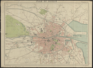
Plan of Dublin
143.
Plan of land at Buzzards Bay, Mass., belonging to the N.E. Telephone & Telegraph Co.
144.
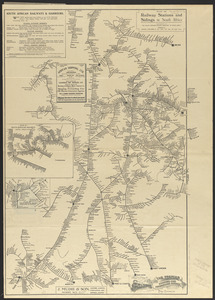
Plan of railway stations and sidings in South Africa
145.
Plan of the burnt district : showing proposed improvements in streets. Nov. 12th 1872
146.
Poland
147.
Political map of Europe
148.
The Price & Lee Co's map of Orange
149.
The Price & Lee Co's map of the city of New Haven, Connecticut
150.
The Price & Lee Co's map of the City of Newark, N.J. including Irvington
151.
The Price & Lee Co's new map of Caldwell, Verona, Essex Fells, Cedar Grove, Essex County, New Jersey
152.
The Price & Lee Co's new map of Montclair, Glen Ridge and Bloomfield, New Jersey
153.
The Price & Lee Co's new map of the city of Holyoke and part of the city of Chicopee, Mass
154.
The Price & Lee Co's new map of the city of Paterson, Haledon and borough of Prospect Park
155.
Prophylactic Brush Co. (Bldg), Landers, Frary & Clark Co. (Tenant), Florence, Mass. [insurance map]
156.
Public reservations on the banks of the Charles River between Watertown and Cragies Bridge
157.
Radio map of the United States
158.
Rand McNally & Co's new commercial map of Europe
159.
Rand McNally official 1920 auto trails map : District number 6 : New England, eastern New York
160.
Rand McNally official 1924 auto trails map Maine ; Rand McNally official 1924 auto trails map New Hampshire, Vermont
‹ Prev
Next ›
1
2
…
4
5
6
7
8
9
10
11


![Prophylactic Brush Co. (Bldg), Landers, Frary & Clark Co. (Tenant), Florence, Mass. [insurance map]](https://bpldcassets.blob.core.windows.net/derivatives/images/commonwealth:ww72bx884/image_thumbnail_300.jpg)


