Toggle navigation
LMEC Home
Exhibitions
Georeferencing
Tools for Teachers
Collections
My Favorites
Sign Up / Log In
Search
Search the map portal
Map Collection
Map Collection
Map Sets
Search
Search
Search for
Search In
All Fields
Creator
Title
Subject
Place
Search All Digital Collections
Advanced Search
150 Results
My Search
Start Over
1918
Remove constraint 1918
Filter your Search
Place
Europe
83
North and Central America
42
United States
38
France
27
Asia
16
Balkan Peninsula
12
Belgium
10
Africa
7
more
Place
»
Topic
Europe--Maps
17
France--Maps
17
World War, 1914-1918--Europe--Maps
11
World War, 1914-1918--Maps
10
Balkan Peninsula--Maps
9
Belgium--Maps
9
Long Trail (Vt.)--Maps
7
Trails--Vermont--Maps
7
more
Topic
»
Date
Date range begin
–
Date range end
Current results range from
1831
to
1934
View distribution
Creator
American Geographical Society of New York
32
Gross, Alexander, 1879-1958
28
Congdon, Herbert Wheaton, 1876-1965
7
C.S. Hammond & Company
6
Army Service Schools (U.S.)
5
France. Armée. Groupe de canevas de tir
5
United States. Army. Army, 2nd
5
United States. Army. Engineer Reproduction Plant
5
more
Creator
»
Format
Maps/Atlases
150
Georeferenced
Yes
15
No
135
Collection
Norman B. Leventhal Map & Education Center Collection
144
Urban Maps
6
Boston and New England Maps
5
American Textile History Museum Image Collection
3
Massachusetts Real Estate Atlases
2
Town plans, 1830
1
Available to use
No known restrictions
145
Search Constraints
Sort by relevance
relevance
title
date (asc)
date (desc)
Number of results to display per page
20 per page
10
per page
20
per page
50
per page
100
per page
View results as:
grid view
map view
Search Results
141.
Atlas of the city of Boston : Dorchester : from actual surveys and official plans
142.
Balkan Peninsula
143.
The Daily Telegraph map no. 25 : races of Eastern Europe
144.
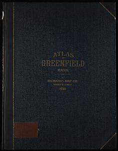
Richards standard atlas of the town of Greenfield, Massachusetts
145.
Bangor & Aroostook Railroad and connections : including northern Maine hunting and fishing region
146.
A diagrammatic road map of Central Europe : for the use of automobilists and cyclists
147.
National topographic map of Massachusetts and Rhode Island : showing counties, townships, cities, villages and post offices ......
148.
Africa
149.
Street index map of Oakland, Albany, Berkeley, Emeryville, Piedmont, Alameda, San Leandro, Alameda Co., California
150.
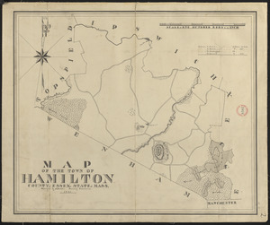
Plan of Hamilton made by A. Brown, dated 1831
‹ Prev
Next ›
1
2
…
4
5
6
7
8