Toggle navigation
LMEC Home
Exhibitions
Georeferencing
Tools for Teachers
Collections
My Favorites
Sign Up / Log In
Search
Search the map portal
Map Collection
Map Collection
Map Sets
Search
Search
Search for
Search In
All Fields
Creator
Title
Subject
Place
Search All Digital Collections
Advanced Search
158 Results
My Search
Start Over
1914
Remove constraint 1914
Filter your Search
Place
Europe
73
North and Central America
65
United States
44
France
23
Canada
16
Asia
13
Massachusetts
13
Belgium
11
more
Place
»
Topic
Europe--Maps
19
France--Maps
15
World War, 1914-1918--Europe--Maps
11
Belgium--Maps
10
World War, 1914-1918--Maps
10
Balkan Peninsula--Maps
8
World War, 1914-1918--Belgium--Maps
7
World War, 1914-1918--France--Maps
7
more
Topic
»
Date
Date range begin
–
Date range end
Current results range from
1831
to
2014
View distribution
Creator
Gross, Alexander, 1879-1958
27
Geological Survey of Canada
8
Dowling, D. B. (Donaldson Bogart), 1858-1925
7
Gannett, Henry, 1846-1914
7
American Geographical Society of New York
6
Geological Survey (U.S.)
6
Army Service Schools (U.S.)
5
France. Armée. Groupe de canevas de tir
5
more
Creator
»
Format
Maps/Atlases
156
Prints
2
Manuscripts
1
Georeferenced
Yes
25
No
133
Collection
Norman B. Leventhal Map & Education Center Collection
150
Boston and New England Maps
5
Urban Maps
4
American Textile History Museum Image Collection
2
Massachusetts Real Estate Atlases
2
Town plans, 1830
2
Lucius Beebe Memorial Library Historic Maps
1
MacLean Collection Map Library
1
more
Collection
»
Available to use
No known restrictions
152
Creative Commons license
1
Search Constraints
Sort by relevance
relevance
title
date (asc)
date (desc)
Number of results to display per page
20 per page
10
per page
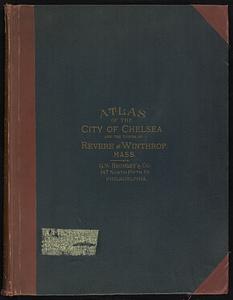
20
per page
50
per page
100
per page
View results as:
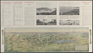
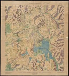
grid view
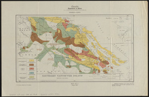
map view
Search Results
141.
Southern British Columbia : map showing disposition of lands
142.
Topographic map of Clinton County, Illinois
143.
Topographic map of Monroe County, Illinois
144.
Atlas of the city of Boston : West Roxbury : from actual surveys and official plans
145.
Atlas of the city of Boston : West Roxbury
146.
Atlas of the city of Chelsea and the towns of Revere & Winthrop, Massachusetts
147.
Coal areas of Canada
148.
Coal fields of Alberta and British Columbia
149.
Coal fields of Manitoba and Saskatchewan
150.
Coal fields of Nova Scotia and New Brunswick
151.
Geological and topographical map of Crows Nest coal-fields, East Kootenay District, B.C. ; Geological sketch map of part of the...
152.
Lake George, Lake Champlain, the Adirondacks
153.
Panoramic view of the Yellowstone National Park, Wyoming-Montana-Idaho
154.
Southern Vancouver Island, British Columbia
155.
Sydney coal field
156.
Klamath project, Oregon-California
157.
Karte vom kriegschauplatz
158.
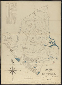
Plan of Danvers made by John W. Proctor, dated 1831
‹ Prev
Next ›
1
2
…
4
5
6
7
8