Toggle navigation
LMEC Home
Exhibitions
Georeferencing
Tools for Teachers
Collections
My Favorites
Sign Up / Log In
Search
Search the map portal
Map Collection
Map Collection
Map Sets
Search
Search
Search for
Search In
All Fields
Creator
Title
Subject
Place
Search All Digital Collections
Advanced Search
245 Results
My Search
Start Over
Date
1905
to
1909
Remove constraint Date: <span class='from'>1905</span> to <span class='to'>1909</span>
Filter your Search
Place
North and Central America
196
United States
178
Massachusetts
77
Suffolk (county)
35
Boston
34
Essex (county)
15
Canada
14
Norfolk (county)
14
more
Place
»
Topic
Boston (Mass.)--Maps
17
Massachusetts--Maps
9
United States--Maps
9
Gold mines and mining--Nova Scotia--Maps
8
Real property--Massachusetts--Boston--Maps
8
Landowners--Massachusetts--Boston--Maps
7
Fire risk assessment
6
Insurance surveys
6
more
Topic
»
Date
1905
to
1909
[remove]
245
Date range begin
–
Date range end
Current results range from
1770
to
1999
1905
to
1905
85
1906
to
1906
85
1907
to
1907
72
1908
to
1908
70
1909
to
1909
68
Creator
Fisk, E. F.
14
Walker Lith. & Pub. Co
13
International Correspondence Schools
12
International Textbook Company
12
Geo. H. Walker & Co.
10
Bromley, George Washington
9
Bromley, Walter Scott
9
Geological Survey of Canada
9
more
Creator
»
Format
Maps/Atlases
241
Photographs
3
Prints
2
Books
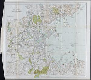
1
Manuscripts
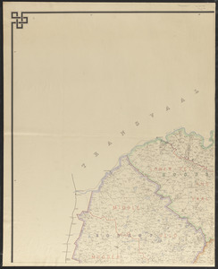
1
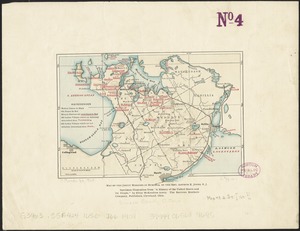
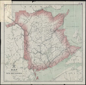
Objects/Artifacts
1
Georeferenced
Yes
31
No
214
Collection
Norman B. Leventhal Map & Education Center Collection
218
Boston and New England Maps
33
Urban Maps
21
Massachusetts Real Estate Atlases
15
American Textile History Museum Image Collection
6
Maritime Charts and Atlases
6
Mapping Boston Collection
4
Robert E. Diefenbach Map Collection at Phillips Academy
4
more
Collection
»
Available to use
No known restrictions
219
Creative Commons license
4
Search Constraints
Sort by relevance
relevance
title
date (asc)
date (desc)
Number of results to display per page
20 per page
10
per page
20
per page
50
per page
100
per page
View results as:
grid view
map view
Search Results
121.
Map of the Back Bay Fens showing the public ways bordering and crossing them and the neighboring newly laid out parts of...
122.
Map of the Beverly and Manchester shore Massachusetts
123.
A map of the British Empire in America with the French and Spanish settlements adjacent throughout
124.
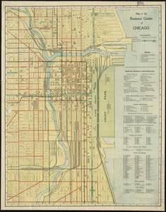
Map of the business center of Chicago
125.
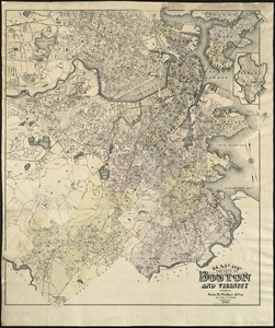
Map of the city of Boston and vicinity
126.
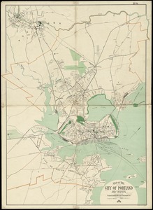
Map of the city of Portland and vicinity
127.
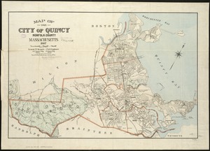
Map of the city of Quincy, Norfolk County, Massachusetts, 1907
128.
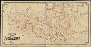
Map of the city of Somerville, 1907
129.
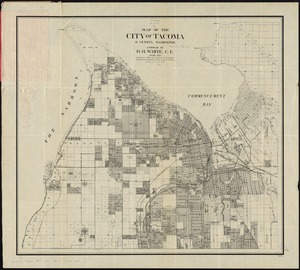
Map of the city of Tacoma & vicinity, Washington
130.
Map of the existing and proposed circumferential thoroughfares of the district
131.
Map of the existing and proposed radial thoroughfares of the district and their connections
132.
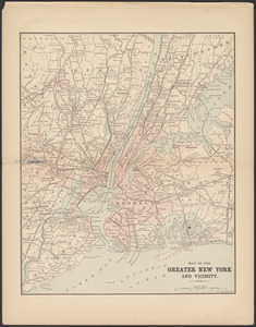
Map of the greater New York and vicinity
133.
Map of the Jesuit missions in Huronia
134.
Map of the metropolitan district of Boston : showing local public reservations, and holdings of the Metropolitan Park...
135.
Map of the New England and Middle Atlantic States
136.
Map of the Orange River Colony
137.
Map of the province of New Brunswick
138.
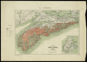
Map of the province of Nova Scotia to illustrate report by E.R. Faribault, B.A. Sc. on the "Gold fields of Nova Scotia"
139.
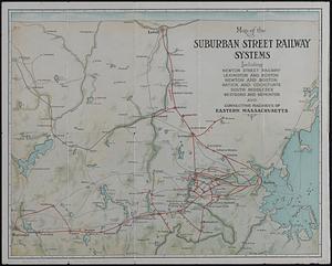
Map of the suburban street railway systems : including Newton Street Railway, Lexington and Boston, Newton and Boston, Natick...
140.
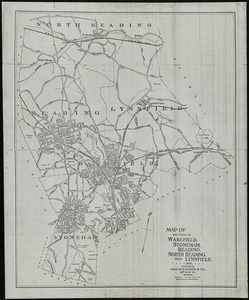
Map of the towns of Wakefield, Stoneham, Reading, North Reading, and Lynnfield, 1907
‹ Prev
Next ›
1
2
3
4
5
6
7
8
9
10
11
12
13