Toggle navigation
LMEC Home
Exhibitions
Georeferencing
Tools for Teachers
Collections
My Favorites
Sign Up / Log In
Search
Search the map portal
Map Collection
Map Collection
Map Sets
Search
Search
Search for
Search In
All Fields
Creator
Title
Subject
Place
Search All Digital Collections
Advanced Search
13680 Results
My Search
Start Over
Date facet yearly ssim
1580
to
1584
Remove constraint Date facet yearly ssim: <span class='from'>1580</span> to <span class='to'>1584</span>
Filter your Search
Place
North and Central America
10,344
United States
8,475
Massachusetts
2,789
Suffolk (county)
1,677
Boston
1,633
Europe
1,415
Canada
950
New York
649
more
Place
»
Topic
Boston (Mass.)--Maps
747
City planning--Massachusetts--Boston--Maps
418
United States--History--Revolution, 1775-1783--Maps
329
United States--Maps
322
Real property--Massachusetts--Boston--Maps
254
Urban renewal--Massachusetts--Boston--Maps
254
Massachusetts--Maps
231
Insurance surveys
197
more
Topic
»
Date
Date range begin
–
Date range end
Current results range from
1482
to
2023
View distribution
Creator
United States. Hydrographic Office
597
Boston Redevelopment Authority
404
Des Barres, Joseph F. W. (Joseph Frederick Wallet), 1722-1824
247
Royal United Services Institute for Defence and Security Studies
160
Jefferys, Thomas, -1771
154
George, III, King of Great Britain, 1738-1820
152
George, IV, King of Great Britain, 1762-1830
151
O.H. Bailey & Co
148
more
Creator
»
Format
Maps/Atlases
13,499
Manuscripts
985
Prints
102
Books
49
Drawings/Illustrations
44
Photographs
15
Objects/Artifacts
13
Documents
7
more
Format
»
Georeferenced
Yes
979
No
12,701
Collection
Norman B. Leventhal Map & Education Center Collection
9,096
American Revolutionary War-Era Maps
3,305
Boston and New England Maps
2,915
Urban Maps
2,471
Maritime Charts and Atlases
1,169
William L. Clements Library Collection
910
Library of Congress Collection
618
Boston Redevelopment Authority Collection
475
more
Collection
»
Available to use
No known restrictions
10,246
Creative Commons license
1,678
Search Constraints
Sort by relevance
relevance
title
date (asc)
date (desc)
Number of results to display per page
20 per page
10
per page
20
per page
50
per page
100
per page
View results as:
grid view
map view
Search Results
13541.
White Haven
13542.
White Haven
13543.
White Haven
13544.
White Haven
13545.
White Haven
13546.
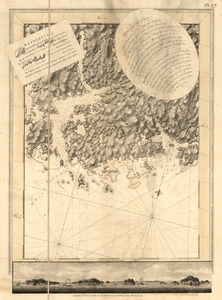
White Islands Harbour : Port Stephen's ; Liscomb Harbour ; Houlton Harbour ; River St. Mary
13547.
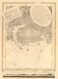
White Islands Harbour ; Port Stephen's ; Liscomb Harbour ; Houlton Harbour ; River St. Mary
13548.
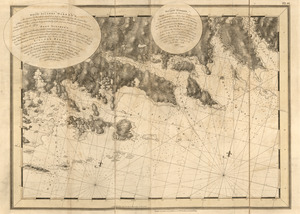
White Islands Harbour ; Port Stephen's ; Liscomb Harbour ; Houlton Harbour ; River St. Mary
13549.
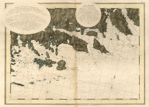
White Islands Harbour ; Port Stephen's ; Liscomb Harbour ; Houlton Harbour ; River St. Mary
13550.
White Mountain National Forest : New Hampshire-Maine
13551.
White Mountain region, New Hampshire : showing lands being acquired by the United States
13552.
The White Mountains of New Hampshire
13553.
White Plains
13554.
Whitinsville, Mass.
13555.
Whitinsville, Massachusetts : 1891
13556.
Whitman, Massachusetts : 1889
13557.
Whitman Mills (Cotton Mill), New Bedford, Mass. [insurance map]
13558.
Whitman National Forest, Blue Mountains Division, Oregon
13559.
Whitman National Forest, Minam Division, Oregon
13560.
The whole story in a nutshell!
‹ Prev
Next ›
1
2
…
674
675
676
677
678
679
680
681
682
683
684


![Whitman Mills (Cotton Mill), New Bedford, Mass. [insurance map]](https://bpldcassets.blob.core.windows.net/derivatives/images/commonwealth:ww72c001v/image_thumbnail_300.jpg)


