Toggle navigation
LMEC Home
Exhibitions
Georeferencing
Tools for Teachers
Collections
My Favorites
Sign Up / Log In
Search
Search the map portal
Map Collection
Map Collection
Map Sets
Search
Search
Search for
Search In
All Fields
Creator
Title
Subject
Place
Search All Digital Collections
Advanced Search
147 Results
My Search
Start Over
1895
Remove constraint 1895
Filter your Search
Place
North and Central America
129
United States
116
Massachusetts
35
Boston
18
Suffolk (county)
18
Michigan
17
Middlesex (county)
8
Europe
7
more
Place
»
Topic
Boston (Mass.)--Maps
15
Huron, Lake (Mich. and Ont.)--Maps
5
Nautical charts--Superior, Lake
5
Chicago (Ill.)--Maps
4
Chicago (Ill.)--Salaries, etc--Maps
4
Ethnology--Illinois--Chicago--Maps
4
Michigan, Lake--Maps
4
Nautical charts--Huron, Lake (Mich. and Ont.)
4
more
Topic
»
Date
Date range begin
–
Date range end
Current results range from
1830
to
1963
View distribution
Creator
Dougal, William H., 1822-1895
29
U.S. Lake Survey
26
United States. Post Office Dept
23
Macomb, J. N. (John N.), 1810 or 1811-1889
15
Meade, George Gordon, 1815-1872
13
United States. Topographical Bureau
11
Mueller, J. U. (John U.)
10
Raynolds, W. F. (William Franklin), 1820-1894
10
more
Creator
»
Format
Maps/Atlases
146
Books
2
Manuscripts
1
Photographs
1
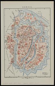
Prints
1
Georeferenced
Yes
31
No
116
Collection
Norman B. Leventhal Map & Education Center Collection
138
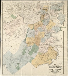
Urban Maps
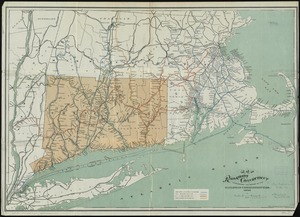
41
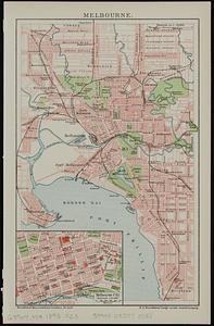
Boston and New England Maps
38
Maritime Charts and Atlases
22
Massachusetts Real Estate Atlases
5
Robert E. Diefenbach Map Collection at Phillips Academy
3
Mapping Boston Collection
1
Town plans, 1830
1
Available to use
No known restrictions
141
Creative Commons license
1
Search Constraints
Sort by relevance
relevance
title
date (asc)
date (desc)
Number of results to display per page
20 per page
10
per page
20
per page
50
per page
100
per page
View results as:
grid view
map view
Search Results
101.
Atlas of the city of Newton, Massachusetts : from actual surveys and official plans
102.
Atlas of the city of Northampton and the town of Easthampton, Hampshire County, Massachusetts
103.
Atlas of the city of Somerville, Massachusetts : from actual surveys and official plans
104.
Atlas of the town of Hull, Plymouth County, and part of the Jerusalem Road, Norfolk County, Massachussetts, from actual surveys...
105.
British Columbia : Kamloops sheet, topography, economic minerals, & glacial striae
106.
British Columbia : Kamloops sheet, geologically coloured
107.
Caerte van de voornaemste reysen ende ontdeckingen door de Hollanders gedaen, alsook vande landen, plaetsen ende factoriën in...
108.
Danzig
109.
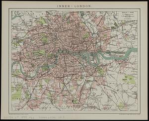
Inner-London
110.
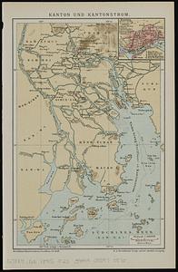
Kanton und Kantonstrom
111.
Kapstadt und umgebung
112.
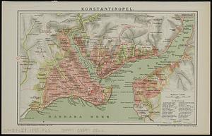
Konstantinopel
113.
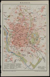
Madrid
114.
Mailand
115.
Map of Boston
116.
Map of Chickamauga & Chattanooga National Park
117.
[Map of Scollay Square and vicinity]
118.
Map of the city of Boston and vicinity
119.
Map of the railroads of Connecticut : to accompany the report of the Railroad Commissioners
120.
Melbourne
‹ Prev
Next ›
1
2
3
4
5
6
7
8


![[Map of Scollay Square and vicinity]](https://bpldcassets.blob.core.windows.net/derivatives/images/commonwealth:x059cc25q/image_thumbnail_300.jpg)