Toggle navigation
LMEC Home
Exhibitions
Georeferencing
Tools for Teachers
Collections
My Favorites
Sign Up / Log In
Search
Search the map portal
Map Collection
Map Collection
Map Sets
Search
Search
Search for
Search In
All Fields
Creator
Title
Subject
Place
Search All Digital Collections
Advanced Search
14164 Results
Filter your Search
Place
North and Central America
10,832
United States
8,868
Massachusetts
2,832
Suffolk (county)
1,688
Boston
1,644
Europe
1,428
Canada
1,010
New York
684
more
Place
»
Topic
Boston (Mass.)--Maps
753
City planning--Massachusetts--Boston--Maps
419
United States--History--Revolution, 1775-1783--Maps
331
United States--Maps
331
Real property--Massachusetts--Boston--Maps
254
Urban renewal--Massachusetts--Boston--Maps
254
North America--Maps--Early works to 1800
241
Massachusetts--Maps
236
more
Topic
»
Date
Date range begin
–
Date range end
Current results range from
1482
to
2023
View distribution
Creator
United States. Hydrographic Office
597
Boston Redevelopment Authority
404
Des Barres, Joseph F. W. (Joseph Frederick Wallet), 1722-1824
247
Jefferys, Thomas, -1771
172
United States. National Ocean Service
170
Royal United Services Institute for Defence and Security Studies
160
George, III, King of Great Britain, 1738-1820
152
George, IV, King of Great Britain, 1762-1830
151
more
Creator
»
Format
Maps/Atlases
13,978
Manuscripts
985
Prints
102
Books
53
Drawings/Illustrations
44
Photographs
15
Objects/Artifacts
13
Documents
7
more
Format
»
Georeferenced
Yes
979
No
13,185
Collection
Norman B. Leventhal Map & Education Center Collection
9,162
American Revolutionary War-Era Maps
3,629
Boston and New England Maps
2,936
Urban Maps
2,511
Maritime Charts and Atlases
1,169
William L. Clements Library Collection
910
Library of Congress Collection
618
Boston Redevelopment Authority Collection
475
more
Collection
»
Available to use
No known restrictions
10,408
Creative Commons license
1,678
Search Constraints
Sort by relevance
relevance
title
date (asc)
date (desc)
Number of results to display per page
20 per page
10
per page
20
per page
50
per page
100
per page
View results as:
grid view
map view
Search Results
10081.
Plan of Rutland made by John King, dated November 1830
10082.
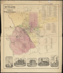
Plan of Rutland, Rutland County, Vermont
10083.
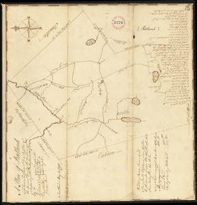
Plan of Rutland, surveyor's name not given, dated May 6, 1795.
10084.
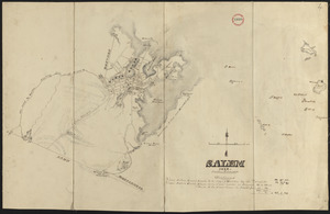
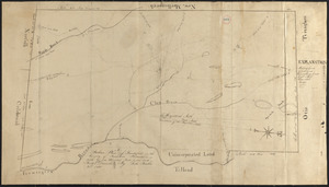
[Plan of Salem Common]
10085.
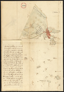
Plan of Salem made by Jonathan P. Saunders, dated 1832
10086.
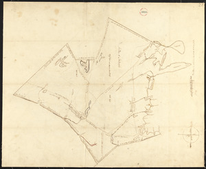
Plan of Salem, surveyor's name not given, dated 1794.
10087.
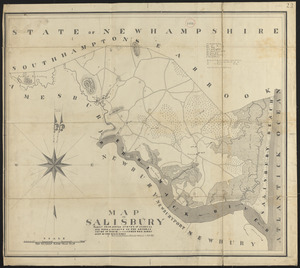
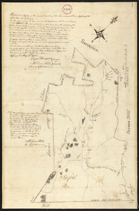
Plan of Salisbury made by Philander Anderson, dated September 1830
10088.
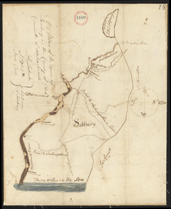
Plan of Salisbury, surveyor's name not given, dated 1794-5.
10089.
Plan of Sandisfield made by Luke Barber, dated December 24, 1830
10090.
Plan of Sandisfield made by Luke, Barber, dated December 24, 1830
10091.
Plan of Sandisfield made by Luke Barber, dated December 24, 1830
10092.
Plan of Sandisfield, surveyor's name not given, dated June 1795.
10093.
Plan of Sandwich made by Jesse Boyden, dated 1831
10094.
Plan of Sandwich, surveyor's name not given, dated 1795.
10095.
PLAN OF SANDY HOOK 28. Miles from New York
10096.
Plan of Sanford, ME, surveyor's name not given, dated 1794-5.
10097.
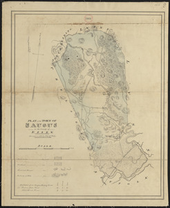
Plan of Saugus made by John G. Hales, dated 1831
10098.
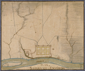
Plan of Savannah & its environs in 1782
10099.
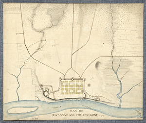
Plan of Savannah and its environs in 1782
10100.
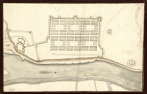
Plan of Savannah and its fortifications in 1782
‹ Prev
Next ›
1
2
…
501
502
503
504
505
506
507
508
509
…
708
709
![[Plan of Salem Common]](https://bpldcassets.blob.core.windows.net/derivatives/images/commonwealth:9s161g70k/image_thumbnail_300.jpg)