Toggle navigation
LMEC Home
Exhibitions
Georeferencing
Tools for Teachers
Collections
My Favorites
Sign Up / Log In
Search
Search the map portal
Map Collection
Map Collection
Map Sets
Search
Search
Search for
Search In
All Fields
Creator
Title
Subject
Place
Search All Digital Collections
Advanced Search
107 Results
My Search
Start Over
Date
1940
to
1944
Remove constraint Date: <span class='from'>1940</span> to <span class='to'>1944</span>
Filter your Search
Place
North and Central America
51
United States
50
Asia
15
Massachusetts
15
World
14
Europe
12
Boston
9
Suffolk (county)
9
more
Place
»
Topic
United States--Maps
10
World maps
10
Fire risk assessment
8
Insurance surveys
8
Boston (Mass.)--Maps
6
Pictorial maps
6
World War, 1939-1945--Maps
5
Aeronautics
4
more
Topic
»
Date
1940
to
1944
[remove]
107
Date range begin
–
Date range end
Current results range from
1770
to
1999
1940
to
1940
31
1941
to
1941
24
1942
to
1942
40
1943
to
1943
34
1944
to
1944
41
Creator
United States. Office of Strategic Services. Geography Division
15
United States. Office of Strategic Services. Research and Analysis Branch
9
Associated Factory Mutual Fire Insurance Companies
7
Chase, Ernest Dudley, 1878-1966
7
Chase, Ernest Dudley, 1878-
5
United States. Office of Strategic Services. Reproduction Branch
4
Boston Elevated Railway Company
3
Bridge, Edward Melville, 1890-
3
more
Creator
»
Format
Maps/Atlases
105
Objects/Artifacts
1
Photographs
1
Prints
1
Georeferenced
Yes
5
No
102
Collection
Norman B. Leventhal Map & Education Center Collection
85
American Textile History Museum Image Collection
8
Boston and New England Maps
8
Lucius Beebe Memorial Library Historic Maps
5
Ralph Finos Map Collection at Phillips Academy
5
Urban Maps
5
David Judkins Weaver Papers
2
Massachusetts Real Estate Atlases
2
more
Collection
»
Available to use
No known restrictions
92
Creative Commons license
1
Search Constraints
Sort by relevance
relevance
title
date (asc)
date (desc)
Number of results to display per page
20 per page
10
per page
20
per page
50
per page
100
per page
View results as:
grid view
map view
Search Results
81.
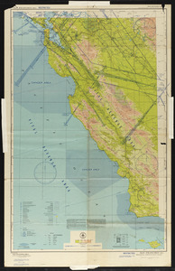
San Francisco (RS-1) sectional aeronautical chart
82.
A small map of the sea coast of New England together with the outlines of several of the provinces lying thereon, 1738
83.
Solomon Islands long range air navigation chart
84.
South Pacific Ocean, Solomon Islands, Guadalcanal and Florida Is. with a portion of Malaita I. : from British surveys to 1912
85.
The south part of New-England, as it is planted this yeare, 1635
86.
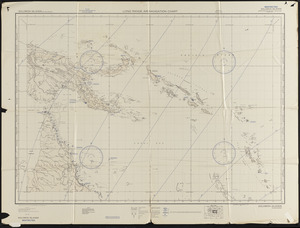
South-east New Guinea
87.
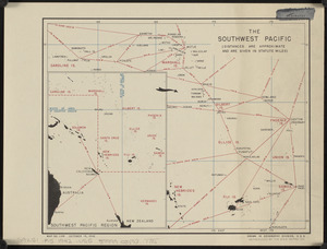
The southwest Pacific
88.
The story map of flying : being a chronicle of man's conquest of the air
89.
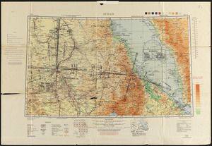
Sudan
90.
To his excellency William Shirley Esqr., Captain General and Commander in Chief, in and over his Majesty's province of the...
91.
Total war battle map
92.
Town of Brookline Mass. Assessors' plans 1943
93.
Town of Brookline, Mass. assessors' plans 1944
94.
Town of Nahant
95.
The town of Winchester, Massachusetts
96.
Tribal map of Morocco
97.
United Air Lines mainliner vacation map : the main line airway to the nation's greatesst vacationlands east and west
98.
United Shoe Machinery Corporation "O. A. Miller Treeing Machine Branch," Plymouth, N.H. [insurance map]
99.
The United States as viewed by California (very unofficial)
100.
United States Rubber Co. (Fisk Cord Mills), New Bedford, Mass. [insurance map]
‹ Prev
Next ›
1
2
3
4
5
6


![United Shoe Machinery Corporation "O. A. Miller Treeing Machine Branch," Plymouth, N.H. [insurance map]](https://bpldcassets.blob.core.windows.net/derivatives/images/commonwealth:ww72c0288/image_thumbnail_300.jpg)

![United States Rubber Co. (Fisk Cord Mills), New Bedford, Mass. [insurance map]](https://bpldcassets.blob.core.windows.net/derivatives/images/commonwealth:ww72bz94g/image_thumbnail_300.jpg)