Toggle navigation
LMEC Home
Exhibitions
Georeferencing
Tools for Teachers
Collections
My Favorites
Sign Up / Log In
Search
Search the map portal
Map Collection
Map Collection
Map Sets
Search
Search
Search for
Search In
All Fields
Creator
Title
Subject
Place
Search All Digital Collections
Advanced Search
133 Results
My Search
Start Over
1901
Remove constraint 1901
Filter your Search
Place
North and Central America
112
United States
79
Massachusetts
20
Cuba
12
Canada
9
New York
9
Boston
8
Hawaii
8
more
Place
»
Topic
United States--Maps
10
Havana (Cuba)--Maps
5
Coasts--Florida--Maps--Early works to 1800
4
Florida--Maps--Early works to 1800
4
Manuscript maps--Early works to 1800
4
Nautical charts--Florida--Early works to 1800
4
Roads--Cuba--Havana--Maps
4
Streets--Cuba--Havana--Maps
4
more
Topic
»
Date
Date range begin
–
Date range end
Current results range from
1696
to
1978
View distribution
Creator
United States. War Department
12
United States. Congress (56th, 2nd session : 1900-1901). Senate
10
United States. Congress. Senate. Committee on Foreign Relations
10
United States. Hydrographic Office
10
Enthoffer, J. (Joseph), 1818-1901
9
Colton, G. Woolworth (George Woolworth), 1827-1901
8
United States. Army. Department of Cuba
8
United States. Congress (56th, 2nd session : 1900-1901). House
8
more
Creator
»
Format
Maps/Atlases
130
Manuscripts
6
Prints
2
Documents
1
Georeferenced
Yes
12
No
121
Collection
Norman B. Leventhal Map & Education Center Collection
120
Maritime Charts and Atlases
13
Boston and New England Maps
10
Urban Maps
9
American Revolutionary War-Era Maps
7
Library of Congress Collection
6
David Judkins Weaver Papers
3
Ralph Finos Map Collection at Phillips Academy
2
more
Collection
»
Available to use
No known restrictions
124
Creative Commons license
7
Search Constraints
Sort by relevance
relevance
title
date (asc)
date (desc)
Number of results to display per page
20 per page
10
per page
20
per page
50
per page
100
per page
View results as:
grid view
map view
Search Results
81.
Chart of the sea coast from lattde. 26⁰20ʹ00ʺ to 26⁰ & 40ʹ00ʺ with the head of Sharkshead River ; Chart of New Inlet ; Chart of...
82.
[Plan d'Amboy : vues de la rade de Charles-Town et de Fort Sulivan, mai 1780]
83.
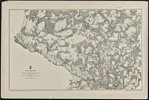
Cold Harbor
84.
Special chart of Cape Florida belonging to the 13th section
85.
Boston Bay and approaches
86.
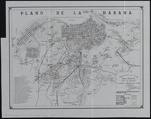
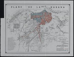
Plano de la Habana : showing work done on streets during six months ending Dec. 31st, 1900
87.
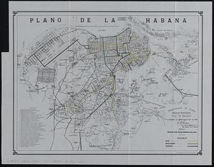
Plano de la Habana : showing track laying completed and paved
88.
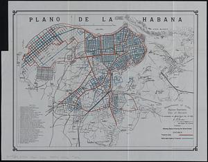
Plano de la Habana : showing status of survey for street grades
89.
German military maneuvers near Stettin from September 3 to September 14, 1900
90.
Plano de la Habana : showing proposed paving for the city of Havana as encluded in specifications recently drawn up
91.
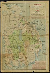
Path map of the eastern part of Mount Desert Island, Maine
92.
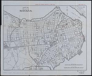
Map of the city of Havana : [casos de fiebre amarilla, muertes de niños menores, y muertes de tuberculosis]
93.
Land measures illustrated ; percentage illustrated ; phonic analysis
94.
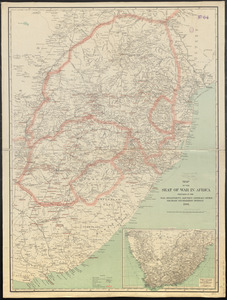
Map of the seat of war in Africa
95.
Map of the United States of America
96.
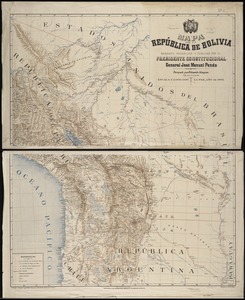
Mapa de la República de Bolivia : mandado organizar y publicar por el Presidente Constitucional General José Manuel Pando
97.
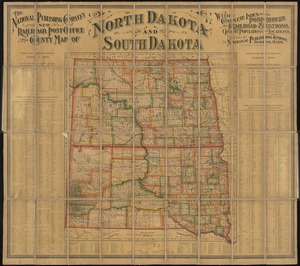
The National Publishing Company's new railroad, post-office and county map of North Dakota and South Dakota : with complete...
98.
Overzichtskaart van den Nederlandsch-Indischen archipel
99.
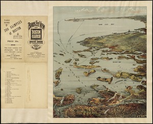
Bird's eye view of Boston Harbor and south shore to Provincetown showing steamboat routes
100.
Boston Harbor, Massachusetts
‹ Prev
Next ›
1
2
3
4
5
6
7