Toggle navigation
LMEC Home
Exhibitions
Georeferencing
Tools for Teachers
Collections
My Favorites
Sign Up / Log In
Search
Search the map portal
Map Collection
Map Collection
Map Sets
Search
Search
Search for
Search In
All Fields
Creator
Title
Subject
Place
Search All Digital Collections
Advanced Search
14164 Results
Filter your Search
Place
North and Central America
10,832
United States
8,868
Massachusetts
2,832
Suffolk (county)
1,688
Boston
1,644
Europe
1,428
Canada
1,010
New York
684
more
Place
»
Topic
Boston (Mass.)--Maps
753
City planning--Massachusetts--Boston--Maps
419
United States--History--Revolution, 1775-1783--Maps
331
United States--Maps
331
Real property--Massachusetts--Boston--Maps
254
Urban renewal--Massachusetts--Boston--Maps
254
North America--Maps--Early works to 1800
241
Massachusetts--Maps
236
more
Topic
»
Date
Date range begin
–
Date range end
Current results range from
1482
to
2023
View distribution
Creator
United States. Hydrographic Office
597
Boston Redevelopment Authority
404
Des Barres, Joseph F. W. (Joseph Frederick Wallet), 1722-1824
247
Jefferys, Thomas, -1771
172
United States. National Ocean Service
170
Royal United Services Institute for Defence and Security Studies
160
George, III, King of Great Britain, 1738-1820
152
George, IV, King of Great Britain, 1762-1830
151
more
Creator
»
Format
Maps/Atlases
13,978
Manuscripts
985
Prints
102
Books
53
Drawings/Illustrations
44
Photographs
15
Objects/Artifacts
13
Documents
7
more
Format
»
Georeferenced
Yes
979
No
13,185
Collection
Norman B. Leventhal Map & Education Center Collection
9,162
American Revolutionary War-Era Maps
3,629
Boston and New England Maps
2,936
Urban Maps
2,511
Maritime Charts and Atlases
1,169
William L. Clements Library Collection
910
Library of Congress Collection
618
Boston Redevelopment Authority Collection
475
more
Collection
»
Available to use
No known restrictions
10,408
Creative Commons license
1,678
Search Constraints
Sort by relevance
relevance
title
date (asc)
date (desc)
Number of results to display per page
20 per page
10
per page
20
per page
50
per page
100
per page
View results as:
grid view
map view
Search Results
9841.
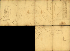
A plan of Mr. Clifton's neck land platted by a scale of 50 poles to the inch : verso
9842.
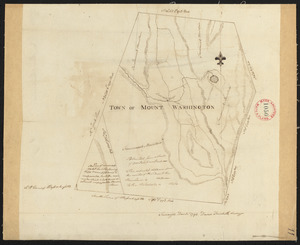
Plan of Mt. Washington surveyed by David Fairchild, dated December, 1794.
9843.
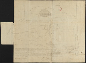
Plan of Mt. Washington, surveyor's name not given, dated January 4, 1831
9844.
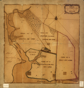
A plan of my farm on Little Huntg. Creek & Potomk. R
9845.
Plan of Mystic River showing the Harbor Commissioners lines : Dec. 1854
9846.
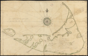
Plan of Nantucket, surveyor's name not given, dated May 1, 1795.
9847.
Plan of Nashua River from Lancaster Mills to S. Harris
9848.
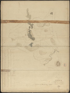
Plan of Natick made by Jonas Clayes, dated 1831
9849.
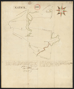
Plan of Natick surveyed by Isaac Coolidge, dated February, 1795.
9850.
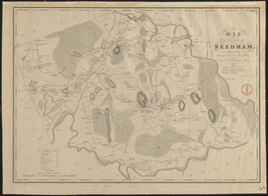
Plan of Needham made by Asa Kingsbury, dated 1831
9851.
Plan of Needham made by Asa Kingsbury, dated 1831
9852.
Plan of Needham surveyed by Jonathan Kingsbury, dated 1794.
9853.
Plan of Neponset River and part of Dorchester Bay showing the harbor lines proposed by the Commissioners 1854
9854.
Plan of New Ashford made by Phinehas Harmon, dated October 1830
9855.
Plan of New Ashford surveyed by John Burchett, dated June 5, 1795.
9856.
Plan of New Bedford surveyor's name not given, dated February 1795.
9857.
Plan of New Braintree, made by David Pratt, dated 1794.
9858.
Plan of New Braintree made by Gardner Ruggles, dated 1830
9859.
Plan of New Braintree made by Gardner Ruggles, dated 1830
9860.
Plan of New Gloucester, surveyor's name not given, datd 1794.
‹ Prev
Next ›
1
2
…
489
490
491
492
493
494
495
496
497
…
708
709