Toggle navigation
LMEC Home
Exhibitions
Georeferencing
Tools for Teachers
Collections
My Favorites
Sign Up / Log In
Search
Search the map portal
Map Collection
Map Collection
Map Sets
Search
Search
Search for
Search In
All Fields
Creator
Title
Subject
Place
Search All Digital Collections
Advanced Search
14164 Results
Filter your Search
Place
North and Central America
10,832
United States
8,868
Massachusetts
2,832
Suffolk (county)
1,688
Boston
1,644
Europe
1,428
Canada
1,010
New York
684
more
Place
»
Topic
Boston (Mass.)--Maps
753
City planning--Massachusetts--Boston--Maps
419
United States--History--Revolution, 1775-1783--Maps
331
United States--Maps
331
Real property--Massachusetts--Boston--Maps
254
Urban renewal--Massachusetts--Boston--Maps
254
North America--Maps--Early works to 1800
241
Massachusetts--Maps
236
more
Topic
»
Date
Date range begin
–
Date range end
Current results range from
1482
to
2023
View distribution
Creator
United States. Hydrographic Office
597
Boston Redevelopment Authority
404
Des Barres, Joseph F. W. (Joseph Frederick Wallet), 1722-1824
247
Jefferys, Thomas, -1771
172
United States. National Ocean Service
170
Royal United Services Institute for Defence and Security Studies
160
George, III, King of Great Britain, 1738-1820
152
George, IV, King of Great Britain, 1762-1830
151
more
Creator
»
Format
Maps/Atlases
13,978
Manuscripts
985
Prints
102
Books
53
Drawings/Illustrations
44
Photographs
15
Objects/Artifacts
13
Documents
7
more
Format
»
Georeferenced
Yes
979
No
13,185
Collection
Norman B. Leventhal Map & Education Center Collection
9,162
American Revolutionary War-Era Maps
3,629
Boston and New England Maps
2,936
Urban Maps
2,511
Maritime Charts and Atlases
1,169
William L. Clements Library Collection
910
Library of Congress Collection
618
Boston Redevelopment Authority Collection
475
more
Collection
»
Available to use
No known restrictions
10,408
Creative Commons license
1,678
Search Constraints
Sort by relevance
relevance
title
date (asc)
date (desc)
Number of results to display per page
20 per page
10
per page
20
per page
50
per page
100
per page
View results as:
grid view
map view
Search Results
9821.
Plan of Milford made by Newell Nelson, dated 1831
9822.
Plan of Millbury made by Hervey Peirce, dated January 1831
9823.
Plan of Milton Cemetery
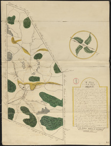
9824.
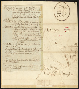
Plan of Milton, surveyor's name not given, dated 1794-5.
9825.
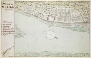
PLAN of MOBILE
9826.
Plan of modern Rome
9827.
Plan of modern Rome
9828.
Plan of Monmouth, made by Jedediah Prescott, dated April 16, 1798.
9829.
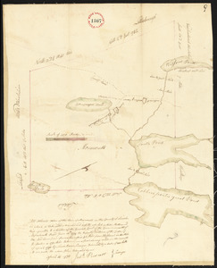
Plan of Monroe, surveyor's name not given, dated 1830
9830.
Plan of Monson made by Aaron Bliss, dated 1831
9831.
Plan of Monson surveyed by Admatha Blodgett, dated March 14, 1795.
9832.
Plan of Montague made by Elisha Root, dated November 1794.
9833.
Plan of Montague made by Josiah Gould, dated August, 1830
9834.
Plan of Montgomery, surveyor's name not given, dated 1831
9835.
Plan of Montgomery, surveyor's name not given, dated November 1794.
9836.
Plan of Mount Auburn
9837.
Plan of Mount Desert, made by John Peters, dated 1795.
9838.
Plan of Mount Hope Cemetery : including the City Cemetery belonging to the City of Boston and situated in West Roxbury &...
9839.
Plan of Mount Hope Cemetery belonging to the City of Boston
9840.
A plan of Mr. Clifton's neck land platted by a scale of 50 poles to the inch : recto
‹ Prev
Next ›
1
2
…
488
489
490
491
492
493
494
495
496
…
708
709