Toggle navigation
LMEC Home
Exhibitions
Georeferencing
Tools for Teachers
Collections
My Favorites
Sign Up / Log In
Search
Search the map portal
Map Collection
Map Collection
Map Sets
Search
Search
Search for
Search In
All Fields
Creator
Title
Subject
Place
Search All Digital Collections
Advanced Search
14164 Results
Filter your Search
Place
North and Central America
10,832
United States
8,868
Massachusetts
2,832
Suffolk (county)
1,688
Boston
1,644
Europe
1,428
Canada
1,010
New York
684
more
Place
»
Topic
Boston (Mass.)--Maps
753
City planning--Massachusetts--Boston--Maps
419
United States--History--Revolution, 1775-1783--Maps
331
United States--Maps
331
Real property--Massachusetts--Boston--Maps
254
Urban renewal--Massachusetts--Boston--Maps
254
North America--Maps--Early works to 1800
241
Massachusetts--Maps
236
more
Topic
»
Date
Date range begin
–
Date range end
Current results range from
1482
to
2023
View distribution
Creator
United States. Hydrographic Office
597
Boston Redevelopment Authority
404
Des Barres, Joseph F. W. (Joseph Frederick Wallet), 1722-1824
247
Jefferys, Thomas, -1771
172
United States. National Ocean Service
170
Royal United Services Institute for Defence and Security Studies
160
George, III, King of Great Britain, 1738-1820
152
George, IV, King of Great Britain, 1762-1830
151
more
Creator
»
Format
Maps/Atlases
13,978
Manuscripts
985
Prints
102
Books
53
Drawings/Illustrations
44
Photographs
15
Objects/Artifacts
13
Documents
7
more
Format
»
Georeferenced
Yes
979
No
13,185
Collection
Norman B. Leventhal Map & Education Center Collection
9,162
American Revolutionary War-Era Maps
3,629
Boston and New England Maps
2,936
Urban Maps
2,511
Maritime Charts and Atlases
1,169
William L. Clements Library Collection
910
Library of Congress Collection
618
Boston Redevelopment Authority Collection
475
more
Collection
»
Available to use
No known restrictions
10,408
Creative Commons license
1,678
Search Constraints
Sort by relevance
relevance
title
date (asc)
date (desc)
Number of results to display per page
20 per page
10
per page
20
per page
50
per page
100
per page
View results as:
grid view
map view
Search Results
9681.
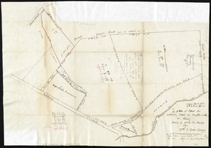
Plan of land in Roxbury belonging to the heirs of Alfred Evans
9682.
Plan of land in Sharon belonging to the Massapoag Lake Company
9683.
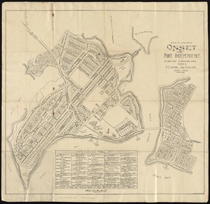
Plan of land of Onset and Point Independence
9684.
Plan of land of the Boston Terminal Corporation Boston, Mass.
9685.
Plan of land on Bedford and Avon Streets belonging to the proprietors of the Second Church in Boston : to be sold by public...
9686.
Plan of land on West Chester Park and Huntington Ave. belonging to the Boston Water Power Co
9687.
Plan of land owned by the Aspinwall Land Company on Aspinwall Hill in Brookline, Mass
9688.
Plan of land owned by the heirs of Frederick Clapp
9689.
Plan of lands belonging to the Boston Water Power Co
9690.
Plan of lands belonging to the Boston Water Power Company
9691.
Plan of lands belonging to the Boston Water Power Company and the Commonwealth, on the Back Bay, showing part of the city...
9692.
Plan of lands belonging to the Commonwealth of Massachusetts
9693.
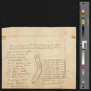
Plan of lands in the Ohio Companys purchase lying in sections no 1 & no 7 town no 2 range no 12
9694.
Plan of lands in West-Roxbury, belonging to the estate of Chas. M. Taft : to be sold by public auction on Wednesday June 9th...
9695.
Plan of lands in West-Roxbury, belonging to the estate of Chas. M. Taft : to be sold by public auction in Wednesday June 9th at...
9696.
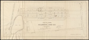
Plan of lands of Holbrook Land Co. at Holbrook 1872
9697.
Plan of lands of Wollaston Land Associates at Wollaston Heights, Quincy
9698.
Plan of lands on the Back Bay belonging to the Boston Water Power Co., the Commonwealth and other parthies [i.e. parties],...
9699.
Plan of lands on the Back Bay, belonging to the Boston Water Power Co., the Commonwealth, and other parties, showing the system...
9700.
A plan of lands on Wilcocks, Shaws or Baxters Hill in Quincy owned by John M. Forbes 1846
‹ Prev
Next ›
1
2
…
481
482
483
484
485
486
487
488
489
…
708
709


![Plan of lands on the Back Bay belonging to the Boston Water Power Co., the Commonwealth and other parthies [i.e. parties], showing the system of streets, grades and sewers as laid out and recommended by the Back Bay Commissioners](https://bpldcassets.blob.core.windows.net/derivatives/images/commonwealth:1257bb305/image_thumbnail_300.jpg)