Toggle navigation
LMEC Home
Exhibitions
Georeferencing
Tools for Teachers
Collections
My Favorites
Sign Up / Log In
Search
Search the map portal
Map Collection
Map Collection
Map Sets
Search
Search
Search for
Search In
All Fields
Creator
Title
Subject
Place
Search All Digital Collections
Advanced Search
13385 Results
Filter your Search
Place
North and Central America
9,353
United States
7,286
Suffolk (county)
1,664
Boston
1,621
Europe
1,035
Canada
949
Massachusetts
806
New York
534
more
Place
»
Topic
Boston (Mass.)--Maps
741
City planning--Massachusetts--Boston--Maps
418
United States--History--Revolution, 1775-1783--Maps
329
United States--Maps
315
Urban renewal--Massachusetts--Boston--Maps
254
Real property--Massachusetts--Boston--Maps
252
Massachusetts--Maps
219
Insurance surveys
197
more
Topic
»
Date
Date range begin
–
Date range end
Current results range from
1482
to
2023
View distribution
Creator
United States. Hydrographic Office
595
Boston Redevelopment Authority
403
Des Barres, Joseph F. W. (Joseph Frederick Wallet), 1722-1824
247
Royal United Services Institute for Defence and Security Studies
160
Jefferys, Thomas, -1771
154
George, III, King of Great Britain, 1738-1820
152
George, IV, King of Great Britain, 1762-1830
151
O.H. Bailey & Co
148
more
Creator
»
Format
Maps/Atlases
13,205
Manuscripts
985
Prints
102
Books
49
Drawings/Illustrations
44
Photographs
15
Objects/Artifacts
13
Documents
7
more
Format
»
Georeferenced
Yes
979
No
12,406
Collection
Norman B. Leventhal Map Center Collection
8,891
American Revolutionary War-Era Maps
3,305
Boston and New England Maps
2,804
Urban Maps
2,397
Maritime Charts and Atlases
1,150
William L. Clements Library Collection
910
Library of Congress Collection
618
Boston Redevelopment Authority Collection
475
more
Collection
»
Available to use
No known restrictions
9,952
Creative Commons license
1,677
Search Constraints
Sort by relevance
relevance
title
date (asc)
date (desc)
Number of results to display per page
20 per page
10
per page
20
per page
50
per page
100
per page
View results as:
grid view
map view
Search Results
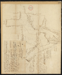
9541.
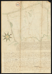
Plan of Stoughton made by Joseph Hodges, dated October 1830
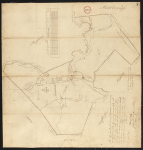
9542.
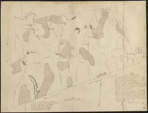
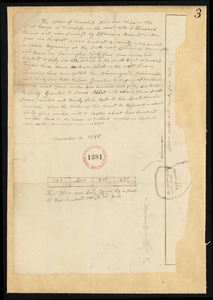
Plan of Stoughton surveyed by Nathaniel Fisher, dated 1794.
9543.
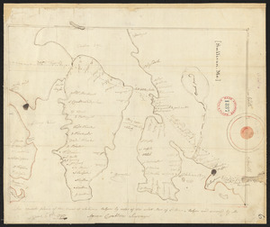
Plan of Stow made by Augustus Tower, dated 1830
9544.
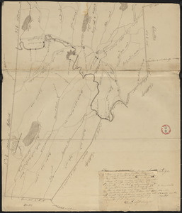
Plan of Stow surveyed by Jabez Brown, dated October 1794.
9545.
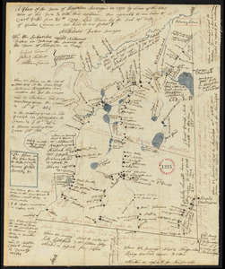
Plan of Strong, ME (Township No.3), surveyor's name not given, dated December 10, 1795.
9546.
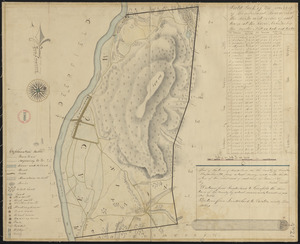
Plan of Sturbridge made by David Wright, dated October 1831
9547.
Plan of Sturbridge surveyed by Job Hamant, dated May 6, 1795.
9548.
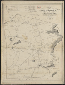
Plan of Sudbury made by William H. Wood, dated October 1830
9549.
Plan of Sudbury surveyed by Matthias Mossman, dated April 17, 1795.
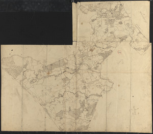
9550.
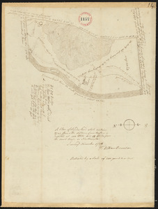
Plan of Suffolk Street District : showing estates & buildings as proposed to be taken by the City of Boston under the Act of...
9551.
Plan of Sullivan surveyed by Agreen Crabtree, dated June 8, 1795.
9552.
Plan of Sunderland made by Josiah Gould, dated June, 1830
9553.
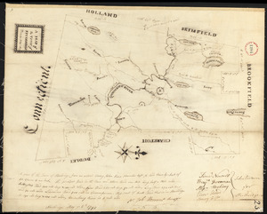
Plan of Sunderland surveyed by William Bowmen, dated November, 1794.
9554.
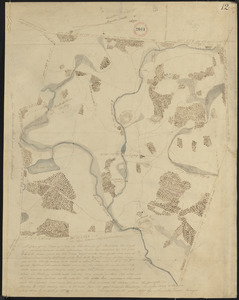
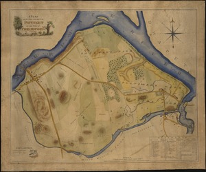
A plan of sundry farms etc. at Patucket in the town of Chelmsford
9555.
Plan of Sutton, made by Ebenzer Waters, dated Novmeber 1794.
9556.
Plan of Sutton made by Zephaniah Keach, dated December 29, 1830
9557.
Plan of Swansey made by William Peck, dated November 1830
9558.
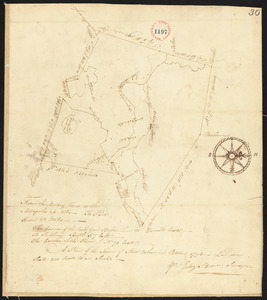
Plan of Swanzey, surveyor's name not given, dated May 1, 1795.
9559.
Plan of Taunton, surveyor's name not given, dated 1795.
9560.
Plan of Taunton, surveyor's name not given, dated 1830
‹ Prev
Next ›
1
2
…
474
475
476
477
478
479
480
481
482
…
669
670