Toggle navigation
LMEC Home
Exhibitions
Georeferencing
Tools for Teachers
Collections
My Favorites
Sign Up / Log In
Search
Search the map portal
Map Collection
Map Collection
Map Sets
Search
Search
Search for
Search In
All Fields
Creator
Title
Subject
Place
Search All Digital Collections
Advanced Search
13385 Results
My Search
Start Over
Date facet yearly ssim
1800
to
1849
Remove constraint Date facet yearly ssim: <span class='from'>1800</span> to <span class='to'>1849</span>
Filter your Search
Place
North and Central America
9,353
United States
7,286
Suffolk (county)
1,664
Boston
1,621
Europe
1,035
Canada
949
Massachusetts
806
New York
534
more
Place
»
Topic
Boston (Mass.)--Maps
741
City planning--Massachusetts--Boston--Maps
418
United States--History--Revolution, 1775-1783--Maps
329
United States--Maps
315
Urban renewal--Massachusetts--Boston--Maps
254
Real property--Massachusetts--Boston--Maps
252
Massachusetts--Maps
219
Insurance surveys
197
more
Topic
»
Date
Date range begin
–
Date range end
Current results range from
1482
to
2023
View distribution
Creator
United States. Hydrographic Office
595
Boston Redevelopment Authority
403
Des Barres, Joseph F. W. (Joseph Frederick Wallet), 1722-1824
247
Royal United Services Institute for Defence and Security Studies
160
Jefferys, Thomas, -1771
154
George, III, King of Great Britain, 1738-1820
152
George, IV, King of Great Britain, 1762-1830
151
O.H. Bailey & Co
148
more
Creator
»
Format
Maps/Atlases
13,205
Manuscripts
985
Prints
102
Books
49
Drawings/Illustrations
44
Photographs
15
Objects/Artifacts
13
Documents
7
more
Format
»
Georeferenced
Yes
979
No
12,406
Collection
Norman B. Leventhal Map Center Collection
8,891
American Revolutionary War-Era Maps
3,305
Boston and New England Maps
2,804
Urban Maps
2,397
Maritime Charts and Atlases
1,150
William L. Clements Library Collection
910
Library of Congress Collection
618
Boston Redevelopment Authority Collection
475
more
Collection
»
Available to use
No known restrictions
9,952
Creative Commons license
1,677
Search Constraints
Sort by date (asc)
relevance
title
date (asc)
date (desc)
Number of results to display per page
20 per page
10
per page
20
per page
50
per page
100
per page
View results as:
grid view
map view
Search Results
781.
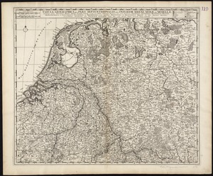
Tabula geographica qua pars septentrionalis sive Inferior Rheni, Mosae, et Mosellae, maximaeque partes Visurgis, Moeni, Amasi,...
782.
A true survey of The Earl of Donagals barronie of Enish Owen containing the two adjacent harbours of Lough Foile and Lough...
783.
An alphabetical table of all the cities, towns, villages and all other places of merit in the Kingdom of France, & circumjacent...
784.
Americae nova discriptio
785.
Archiepiscopatus Trevirensis recentissima delineatio
786.
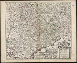
Bavariae pars inferior cum insertis et adjacentibus regionibus non solum in ejusdem ditiones generales sed etiam in earundem...
787.
Bavariae pars superior cum insertis et adjacentibus regionibus non solum in ejusdem ditiones genrales sed etiam in earundem...
788.
Bocche del Fiume Negro et Isole di Cape Verde : possedute dà Portoghesi, scoperte da Antonio di Nola Genouese nell' anno 1440,...
789.
Ducatus Pomeraniae tabula generalis, in qua sunt Ducatus Pomeraniae, Stettinensis, Cassubiae, Vandaliae, et Bardensis,...
790.
An epitome of Sr. William Petty's large survey of Ireland divided into its 4 provinces & 32 counties ... and bridges
791.
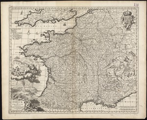
Galliae seu Franciae tabula, qua omnes provinciae, via angiariae, et aliae res notatu dignae distincte et accurate ostendatur
792.
Hollandiae septentrionalis & Frisiae occidentalis accuratissima delineatio
793.
Illustrissimo Celsissimoque Principii Guiljelmo Henrico D.G. Arausionum Principi Domino suo Clementissimo hanc Comitatus...
794.
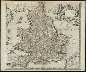
The natural shape of England with the names of rivers, seaports, sands, hills, moors, forrests, and many other remarks which...
795.
The natural shape of England with the names of rivers, seaports, sands, hills, moors, forrests, and many other remarks which...
796.
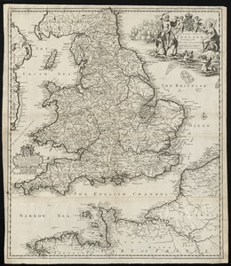
A new map of England and Wales with the direct and cros roads also the number of miles between the townes on the roads by...
797.
A New Map of ye Dukedome of Savoy, Principality of Piedmont county of Nice Dukedome of Monferret, and ye adjacent countries of...
798.
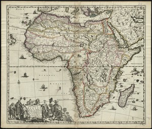
A new mapp of Africa divided into kingdoms and provinces
799.
A new mapp of New England and Annapolis and the countrys adjacent
800.
Noordt Hollandt
‹ Prev
Next ›
1
2
…
36
37
38
39
40
41
42
43
44
…
669
670