Toggle navigation
LMEC Home
Exhibitions
Georeferencing
Tools for Teachers
Collections
My Favorites
Sign Up / Log In
Search
Search the map portal
Map Collection
Map Collection
Map Sets
Search
Search
Search for
Search In
All Fields
Creator
Title
Subject
Place
Search All Digital Collections
Advanced Search
82 Results
My Search
Start Over
Date
1835
Remove constraint Date: <span class='single'>1835</span>
Filter your Search
Place
North and Central America
52
United States
42
Massachusetts
18
Boston
12
Europe
12
Suffolk (county)
12
Ohio
5
Michigan
4
more
Place
»
Topic
Boston (Mass.)--Maps
9
Ohio--Boundaries--Michigan--Maps
6
Michigan--Boundaries--Ohio--Maps
5
Korea--Maps
4
China--Maps
3
Japan--Maps
3
Maryland--Maps
3
Rome (Italy)--Maps
3
more
Topic
»
Date
1835
[remove]
82
Date range begin
–
Date range end
Current results range from
1770
to
1990
1835
to
1835
82
Creator
Bradford, T. G. (Thomas Gamaliel), 1802-1887
4
Fuller, Stephen P.
3
Bonner, John, ca. 1643-1726
2
Hood, Washington
2
Hood, Washington.
2
Pendleton's Lithography
2
Talcott, Andrew, 1797-1883
2
United States. Army. Corps of Engineers
2
more
Creator
»
Format
Maps/Atlases
80
Manuscripts
12
Drawings/Illustrations
1
Objects/Artifacts
1
Prints
1
Georeferenced
Yes
9
No
73
Collection
Norman B. Leventhal Map & Education Center Collection
64
Urban Maps
17
Boston and New England Maps
15
American Revolutionary War-Era Maps
12
Library of Congress Collection
5
MacLean Collection Map Library
4
Sidney R. Knafel Map Collection at Phillips Academy
3
Newberry Library Collection
2
more
Collection
»
Available to use
No known restrictions
66
Creative Commons license
6
Search Constraints
Sort by relevance
relevance
title
date (asc)
date (desc)
Number of results to display per page
20 per page
10
per page
20
per page
50
per page
100
per page
View results as:
grid view
map view
Search Results
61.
Plan of Springfield
62.
Plan of the city of Boston
63.
Plan of the city of St. Louis
64.
Plan of the route of pipes from Jamaica Pond, in Roxbury to the reservoir, in Boston
65.
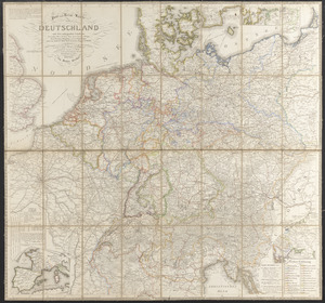
Post- und reise-karte von Deutschland und den anliegenden ländern bis London, Havre de Grace, Tours, Lyon, Genua, Bologna,...
66.
A reconnoissance of the Minnay Sotor Watapāh; or St. Peter's River to its sources : made in the year 1835
67.
Roma, la capitale degli Stati Pontifici, fondata da Romolo e Remo verso vanno 754 prima di Cristo, e situato sul 41°53'54" di...
68.
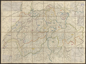
Schweiz
69.
[Sketch of the region of the island of Cape Breton, between the parallels of forty-five and forty-eight degrees of latitude]
70.
Solar and lunar eclipse diagrams
71.
South America
72.
South Cove, in Boston
73.
The South Cove territory, comprising every part which is coloured on this map
74.
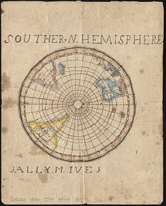
Southern hemisphere
75.
This map of Kentucke
76.
This plan contains about 1000 acres, of the Canton Company's Land
77.
The tourist's pocket map of the state of Ohio : exhibiting its internal improvements, roads, distances &c
78.
The town of Boston in New England
79.
The town of Boston in New England
80.
Typo de la carta cosmographica de Gaspar Vopellio Medeburgense
‹ Prev
Next ›
1
2
3
4
5


![[Sketch of the region of the island of Cape Breton, between the parallels of forty-five and forty-eight degrees of latitude]](https://bpldcassets.blob.core.windows.net/derivatives/images/commonwealth:4m90fh38k/image_thumbnail_300.jpg)